
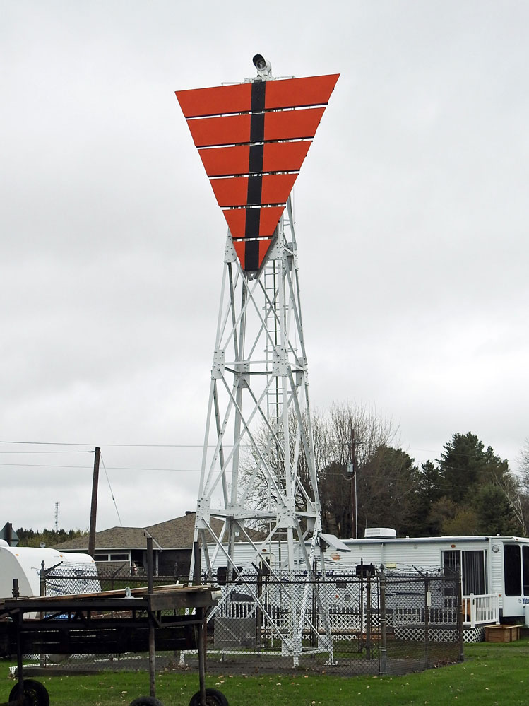
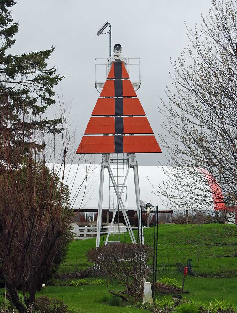
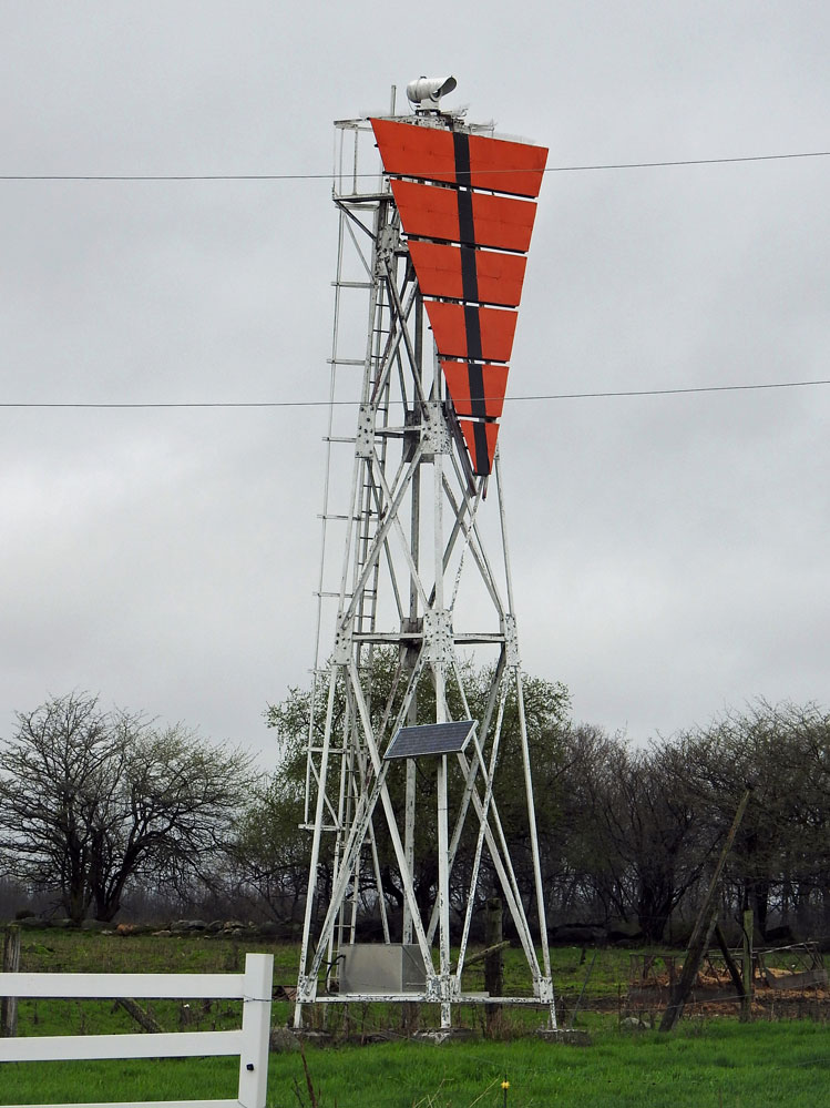
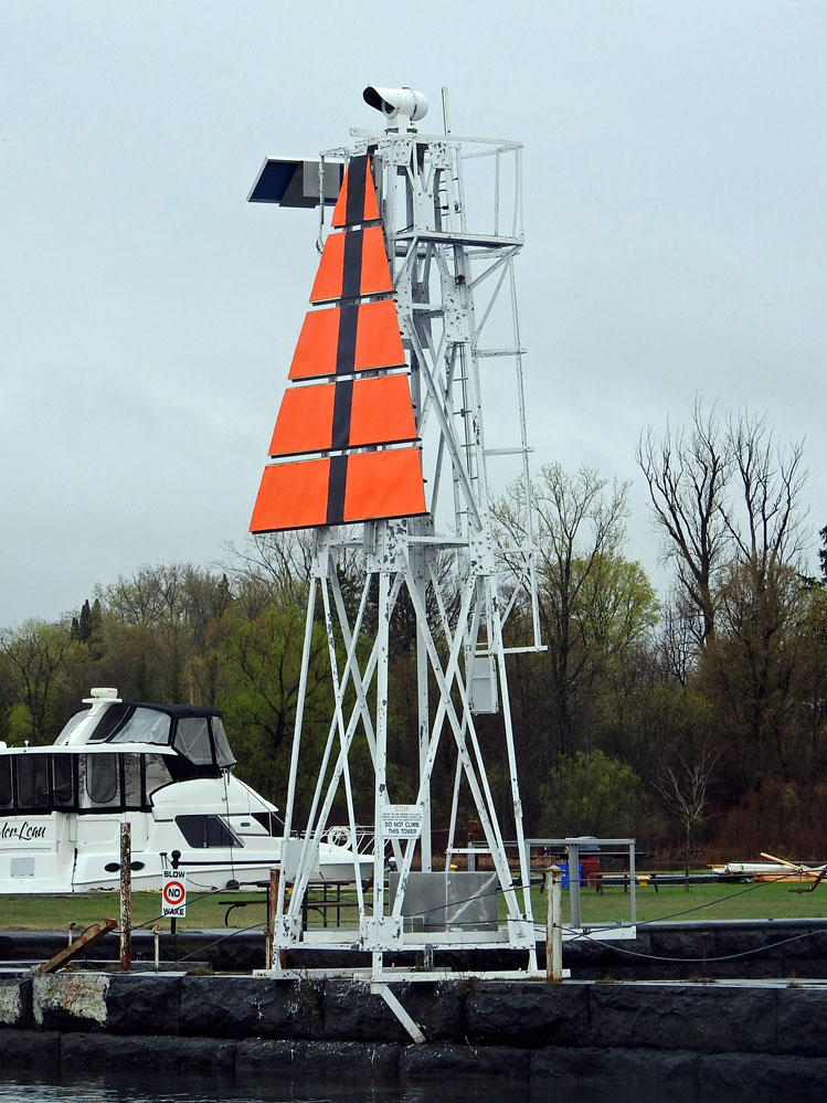
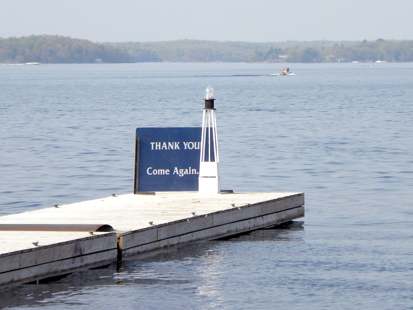
Um detaillierte Informationen zu einem Leuchtfeuer anzuzeigen, auf den internationalen Code klicken.
| Vorschau | Internationaler Code | Standort | Name | Bildnachweis |
|---|---|---|---|---|
 | H2601 | Cornwall Island | SE Point No 2 | MBN |
 | H2601.4 | Cornwall Island | No 4 | MBN |
 | H2604 | Cornwall Island | No 10 Dir Lt | MBN |
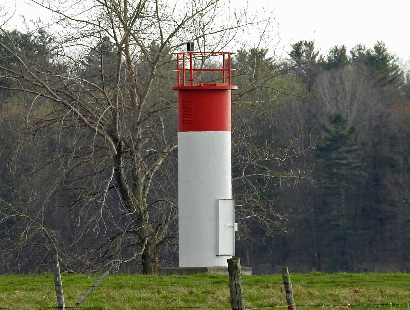
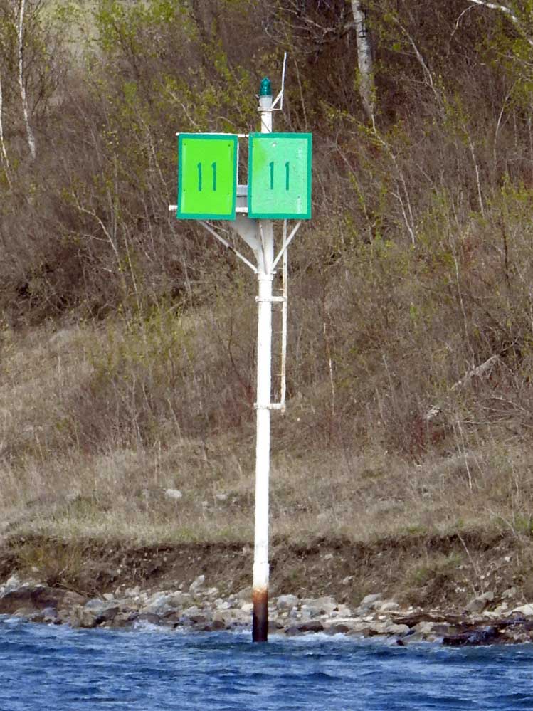 | H2606 | No 11 | Raquette Point | MBN |
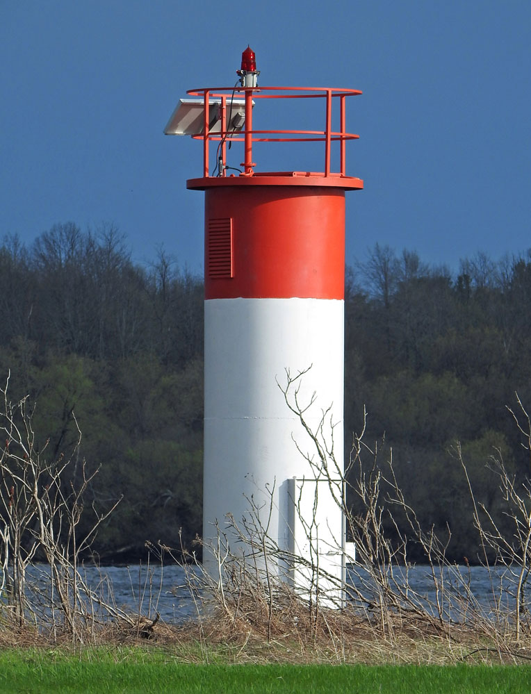
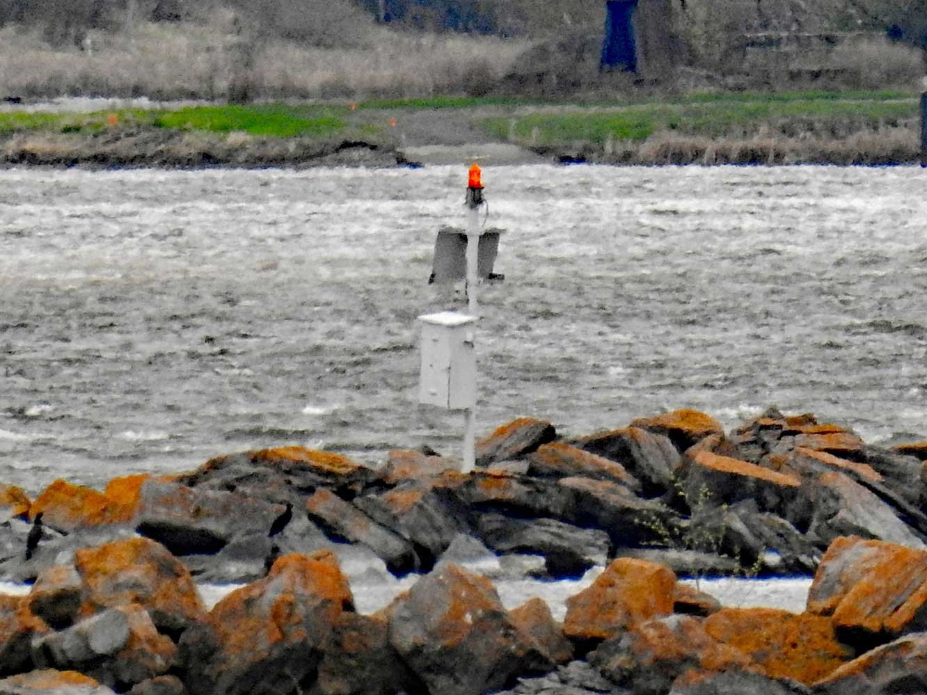
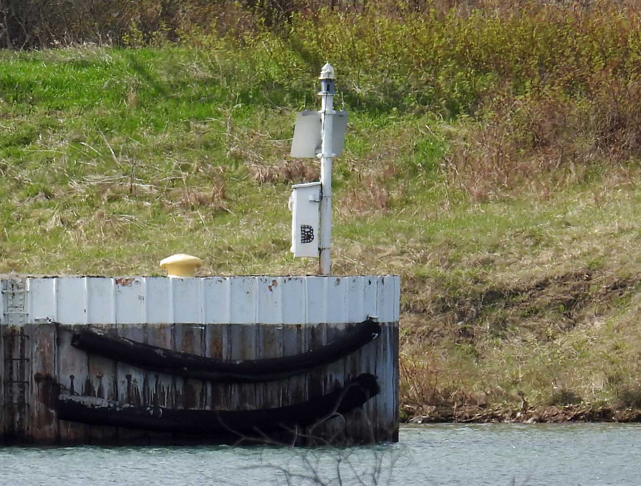
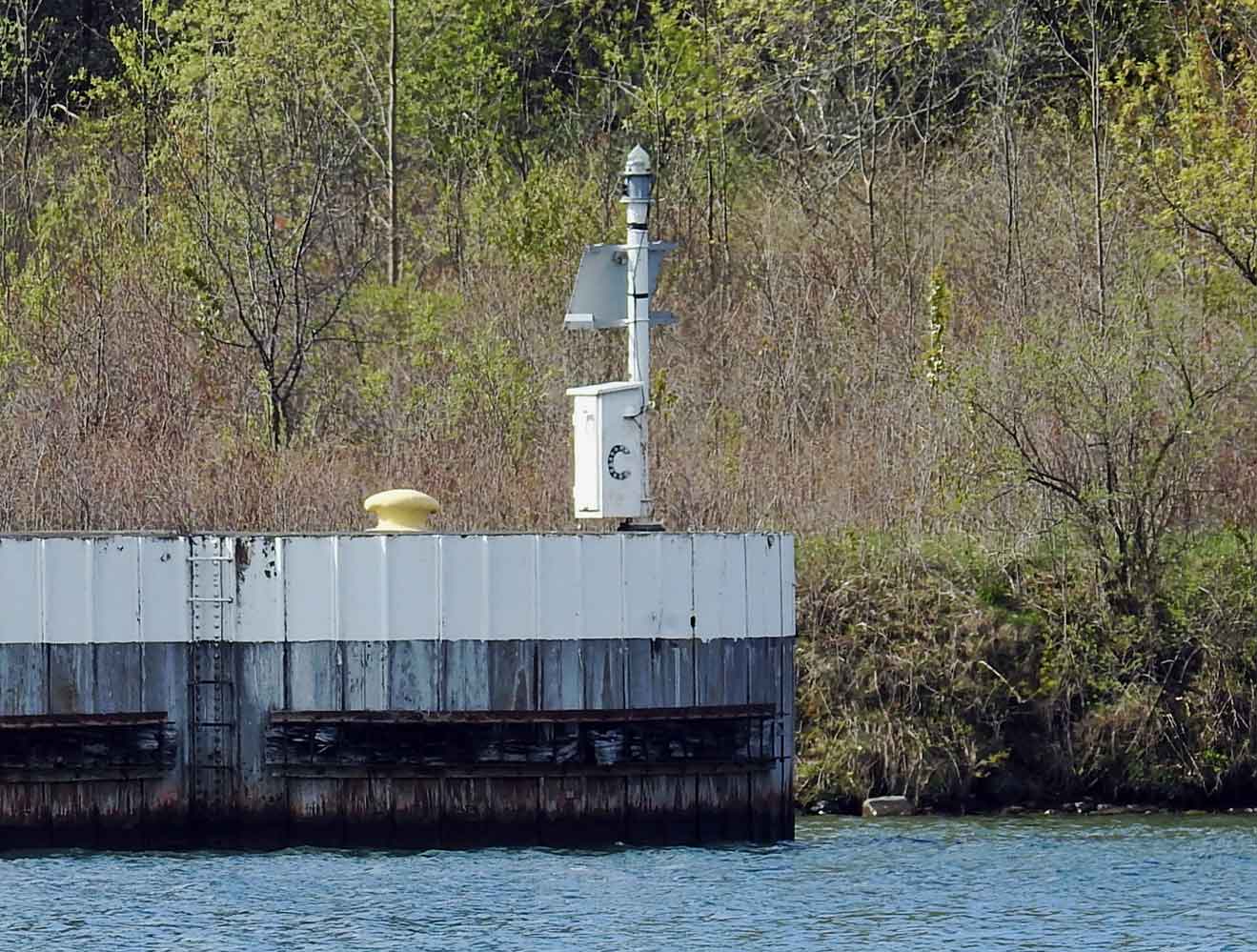
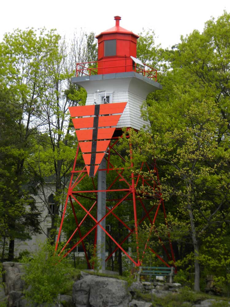
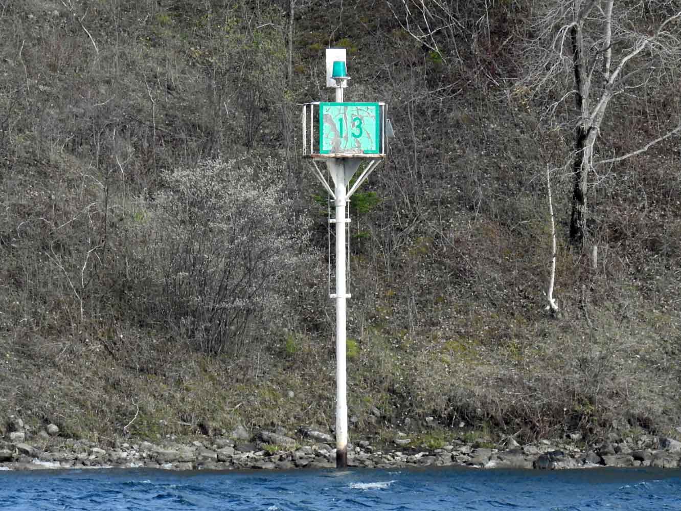 | H2608 | No 13 | MBN | |
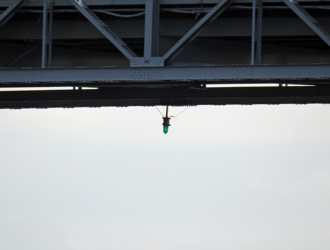 | H2614 | Roosevelt Bridge | MBN | |
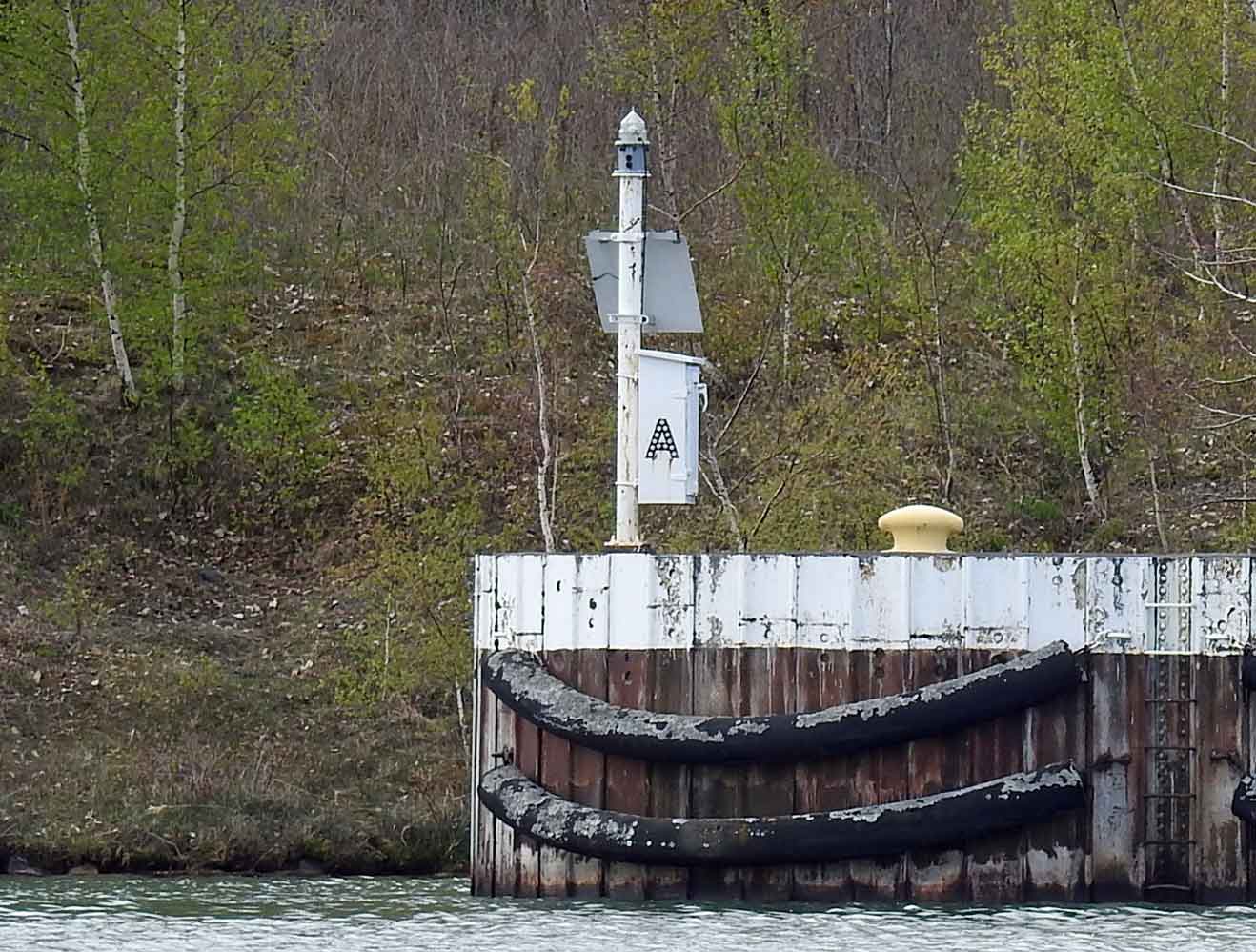
 | H2616 | Pollys Gut | Training Dyke E End A | MBN |
 | H2616.2 | Pollys Gut | Training Dyke W End B | MBN |
 | H2616.4 | Pollys Gut | Training Dyke C | MBN |
 | H2620 | Bertrand H Snell Lock | On NE guidewall of lock No 20 | MBN |
 | H2621 | Bertrand H Snell Lock | On SE guidewall of lock No 21 | |
| H2622 | Bertrand H Snell Lock | On SW guidewall of lock No 23 | |
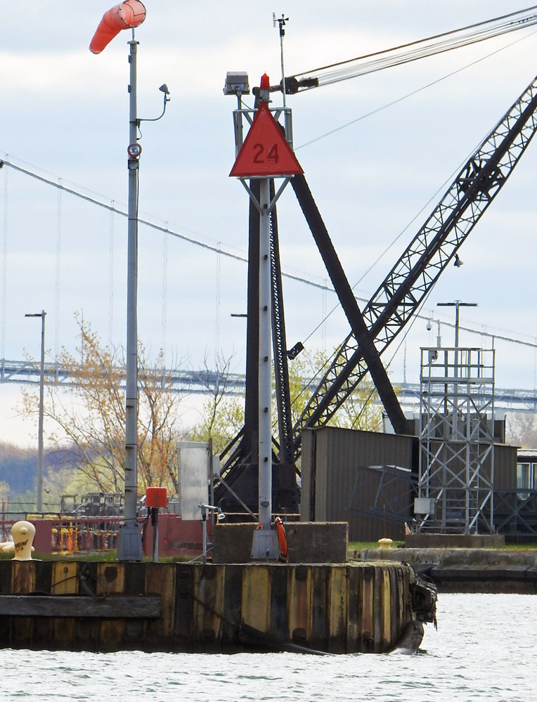 | H2623 | Bertrand H Snell Lock | On NW guidewall of lock No 24 | MBN |
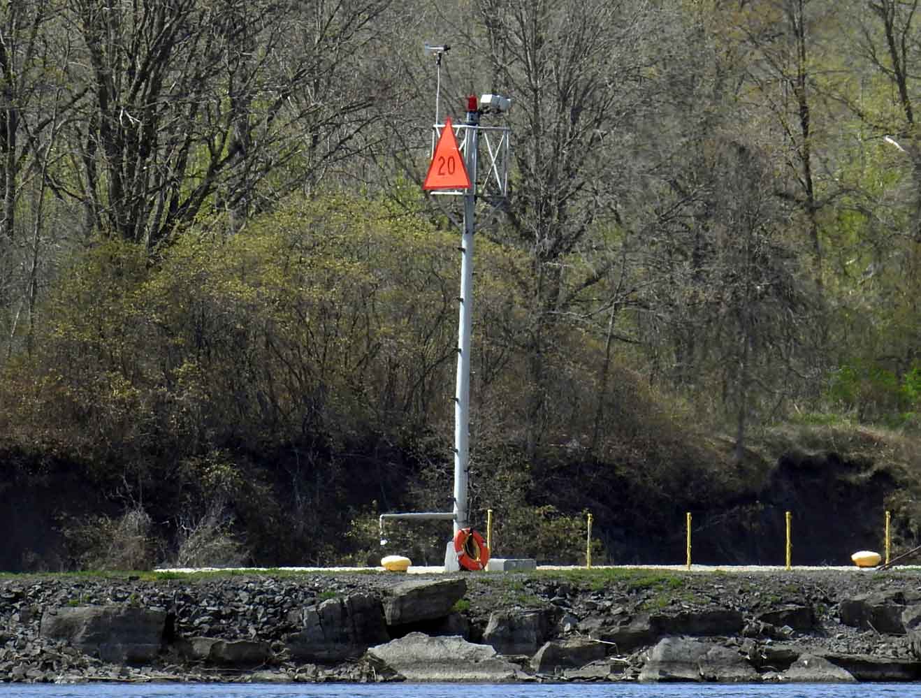
| H2624 | Wiley-Dondero Ship Channel | S side of channel No 25 | |
 | H2626 | Wiley-Dondero Ship Channel | Mooring Cells A E End | MBN |
 | H2626.2 | Wiley-Dondero Ship Channel | Mooring Cells B W End | MBN |
| H2628 | Wiley-Dondero Ship Channel | No 28 | |
| H2629 | Wiley-Dondero Ship Channel | No 29 | |
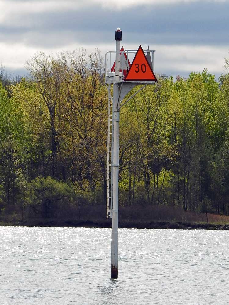 | H2630 | Wiley-Dondero Ship Channel | No 30 | MBN |
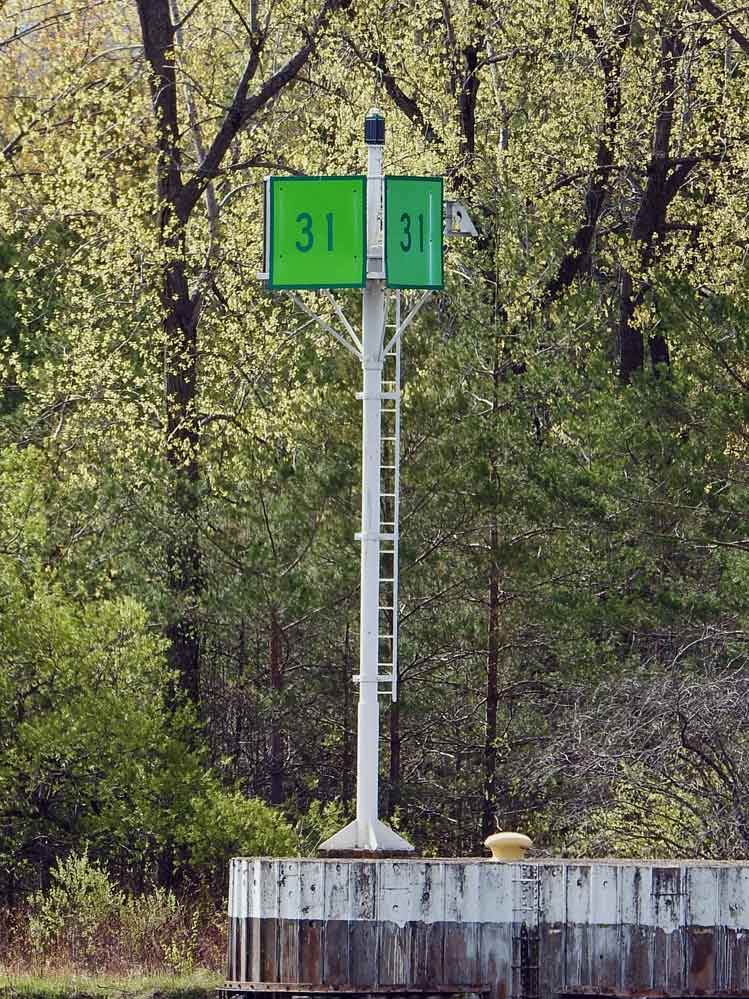 | H2631 | Wiley-Dondero Ship Channel | No 31 | MBN |
 | H2631.2 | Wiley-Dondero Ship Channel | Mooring Cells C | MBN |
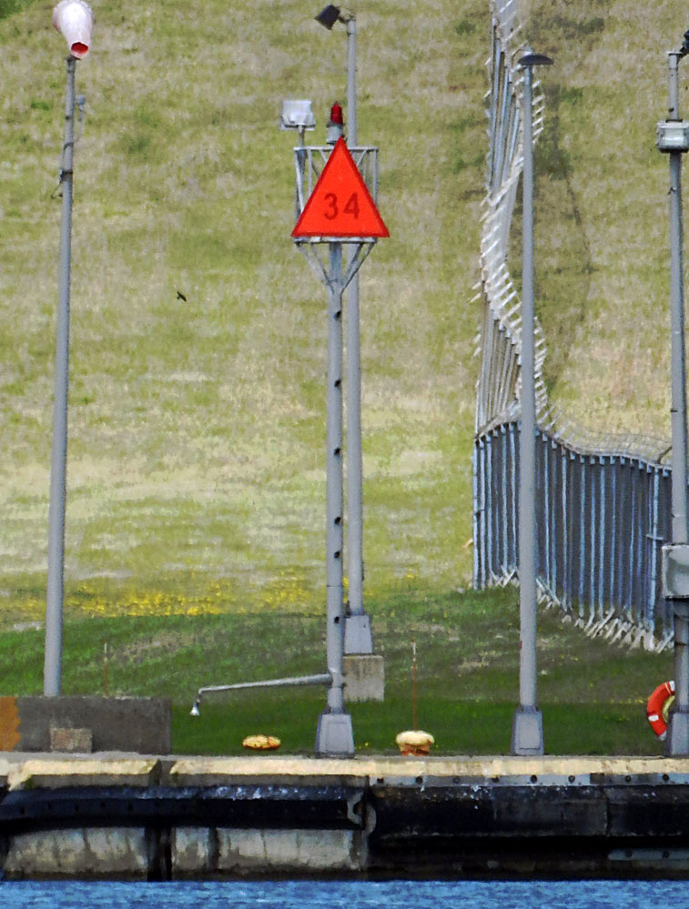 | H2634 | Eisenhower Lock | On NE guidewall No 34 | MBN |
| H2635 | Eisenhower Lock | On SE guidewall No 35 | |
| H2637 | Eisenhower Lock | No 37 On SW guidewall | |
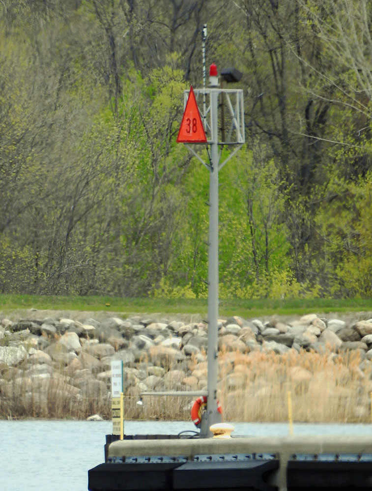 | H2638 | Eisenhower Lock | On NW guidewall No 38 | MBN |
 | H2642 | Mooring Cells | D | MBN |
 | H2643 | Mooring Cells | No 41 | MBN |
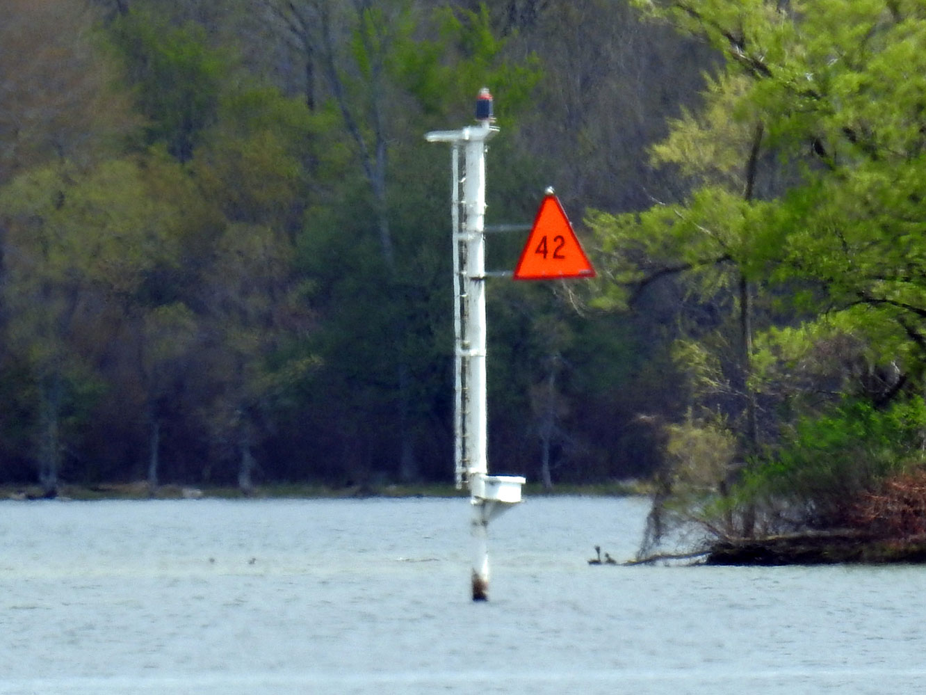 | H2644 | Mooring Cells | No 42 | MBN |
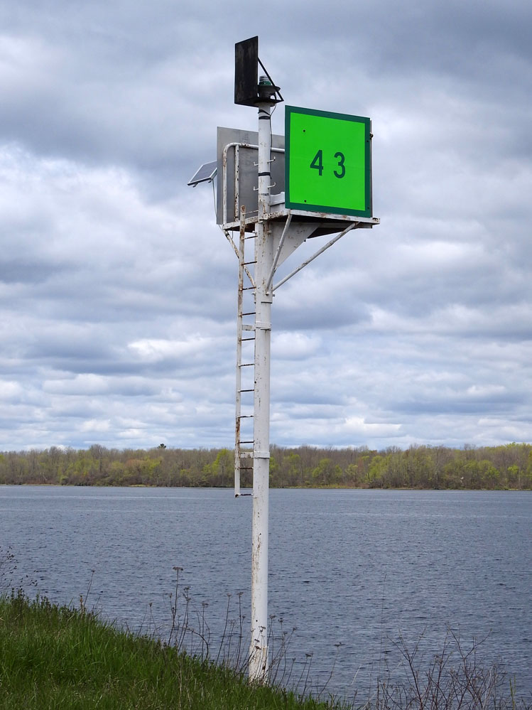 | H2645 | Mooring Cells | No 43 | MBN |
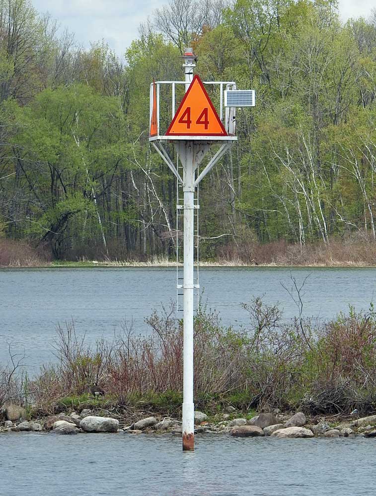 | H2646 | Mooring Cells | No 44 | MBN |
 | H2648 | Mooring Cells | No 45 | MBN |
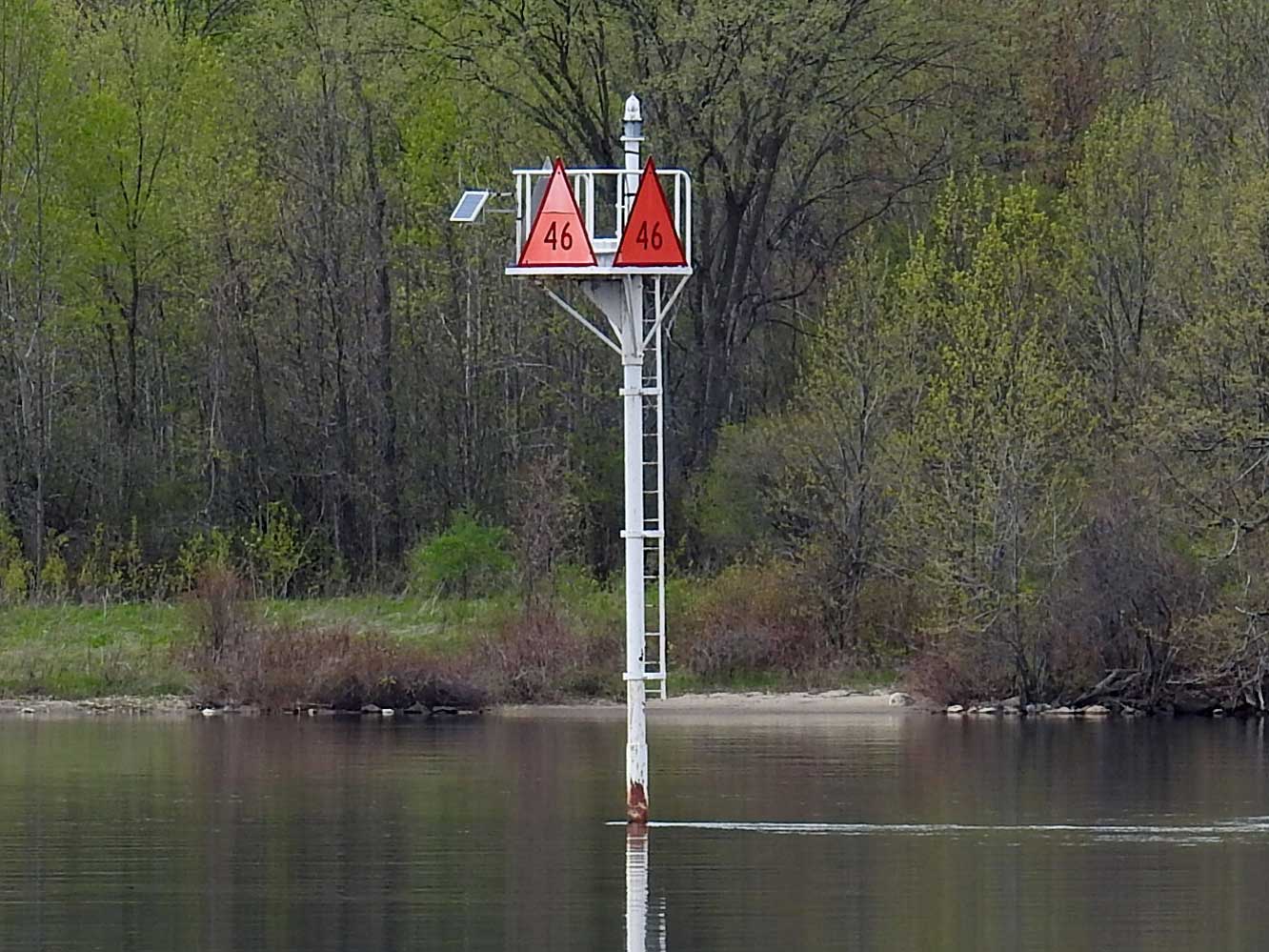 | H2649 | Mooring Cells | No 46 | MBN |
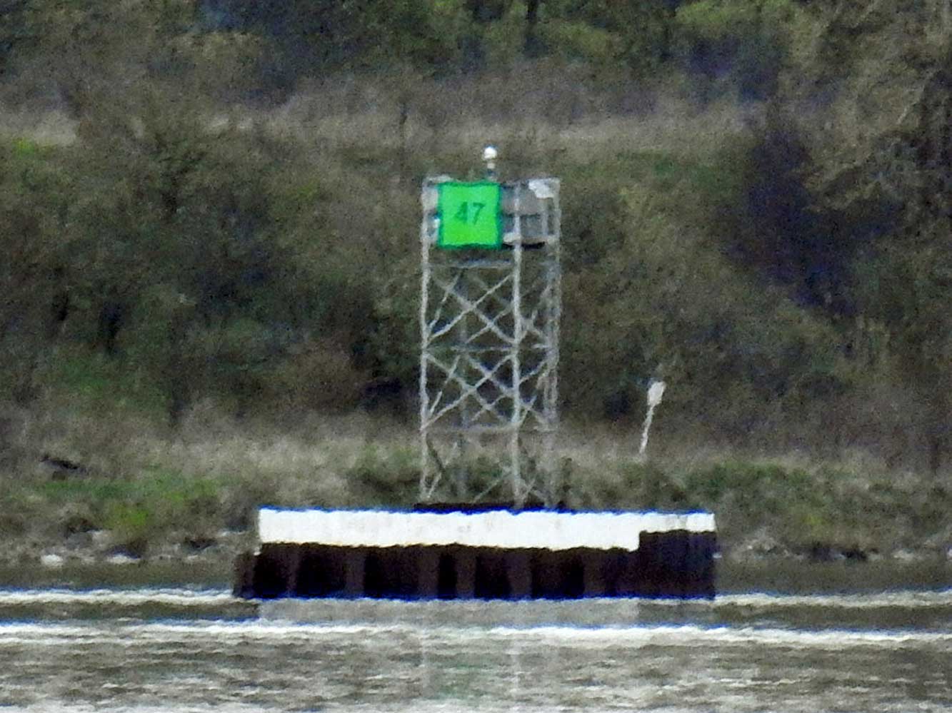 | H2650 | Mooring Cells | No 47 | MBN |
 | H2653 | Mooring Cells | No 48 | MBN |
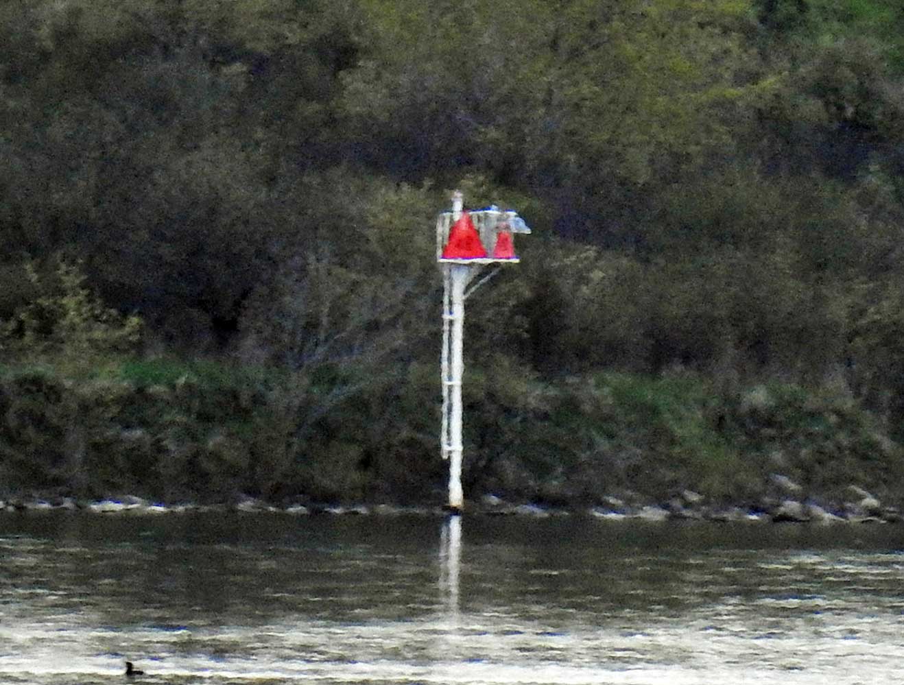
 | H2656 | Croil Island to Leishman Point | No 51 | MBN |
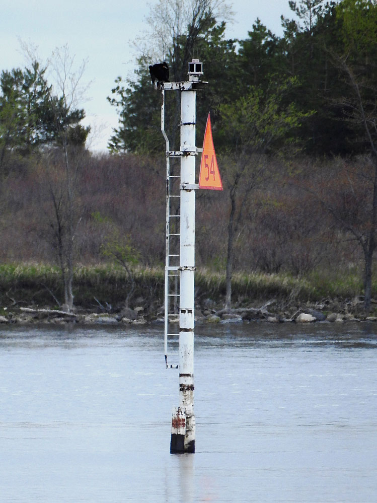 | H2661 | Croil Island to Leishman Point | No 54 | MBN |
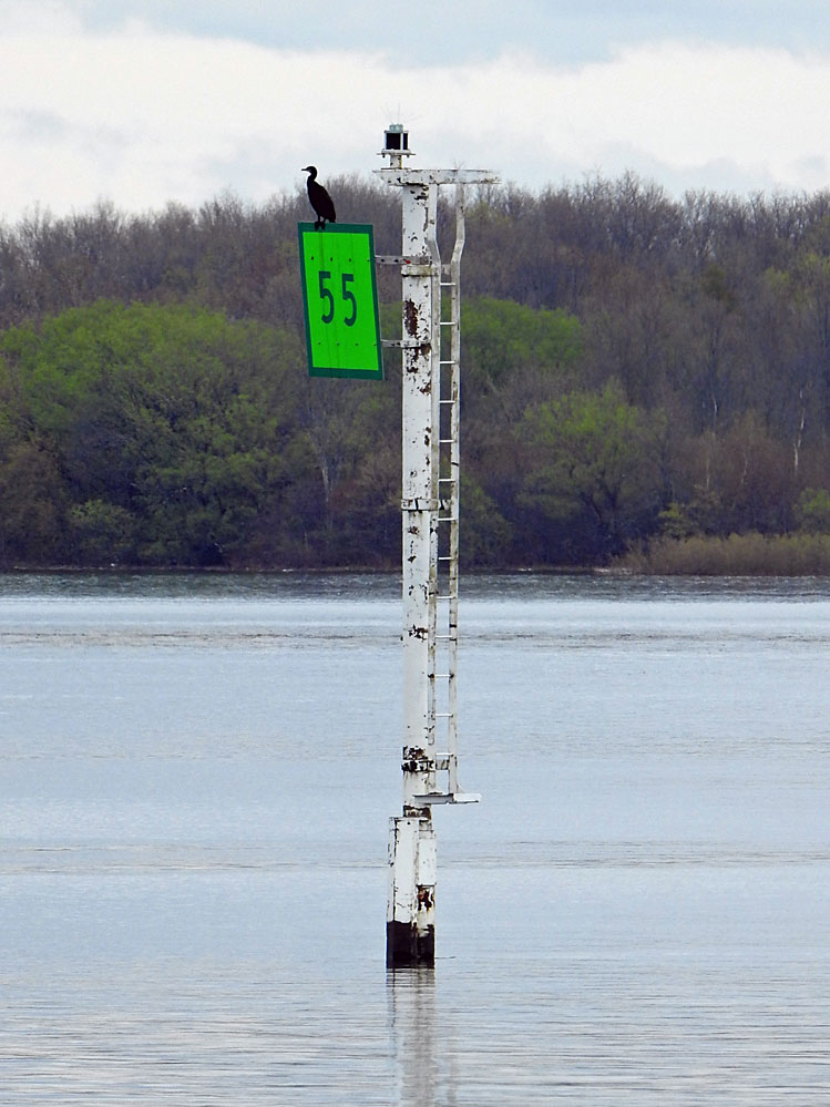 | H2662 | Croil Island to Leishman Point | No 55 | MBN |
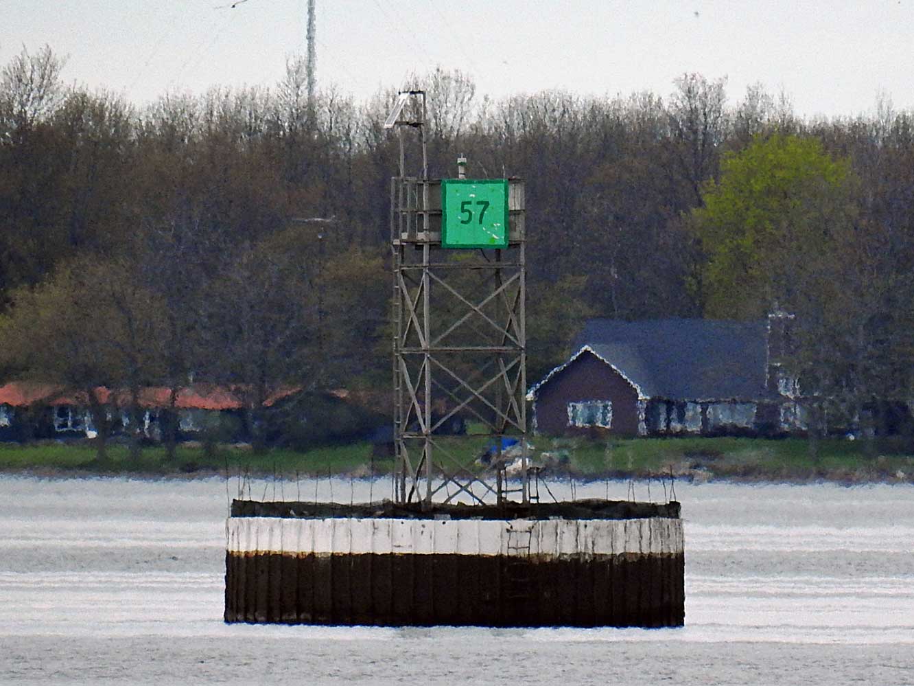 | H2664 | Croil Island to Leishman Point | No 57 | MBN |
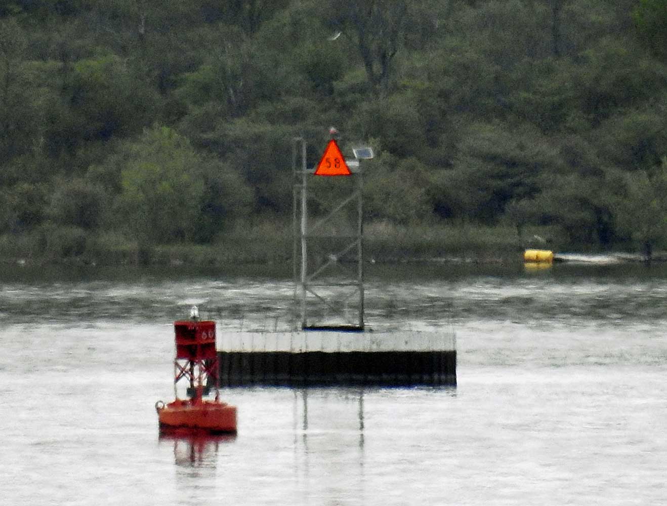 | H2665 | Lake St Lawrence Yacht Club Channel | No 58 | MBN |
 | H2665.4 | Cat Island | Dir Lt | MBN |
 | H2666 | Wilson Hill Island | Ldg Lts Front | MBN |
 | H2666.1 | Wilson Hill Island | Ldg Lts Rear | MBN |
 | H2669 | Weaver Shoal | Ldg Lts Front | MBN |
 | H2669.1 | Weaver Shoal | Ldg Lts Rear | MBN |
| H2670 | No 68 | ||
| H2671 | Off Cooks Point | No 70 | |
| H2672 | Bradford Point | No 71 | |
| H2672.5 | Chrysler Marina Entrance | ||
| H2673 | No 73 | ||
 | H2674 | Gooseneck Island Shoals | Ldg Lts Front | MBN |
 | H2674.1 | Gooseneck Island Shoals | Ldg Lts Rear | MBN |
 | H2675 | No 75 | MBN | |
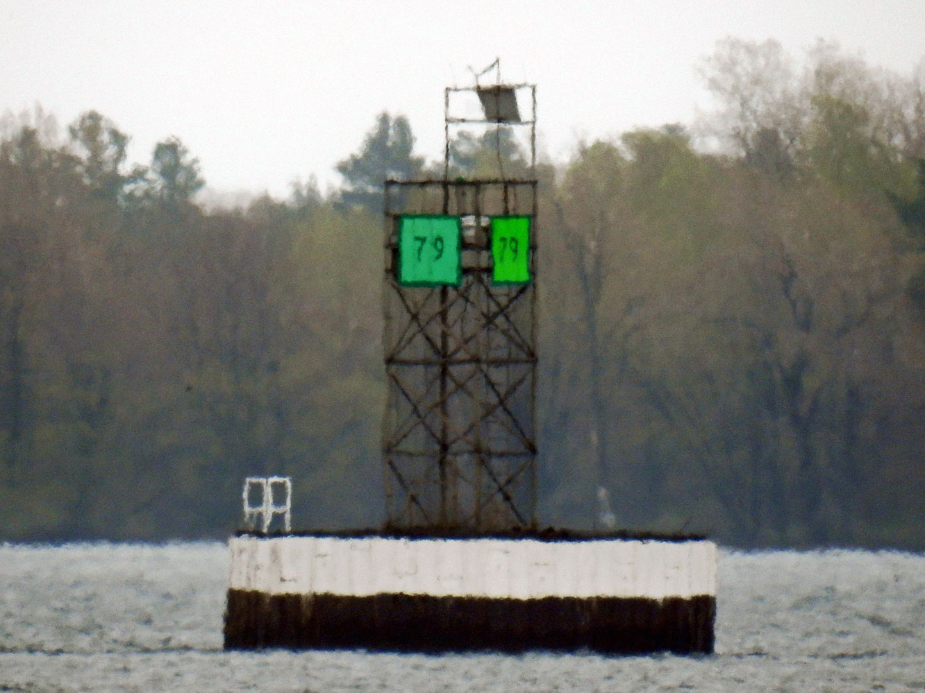 | H2677 | No 79 | MBN | |
 | H2679 | Doran Shoal | Ldg Lts Front | MBN |
 | H2679.1 | Doran Shoal | Ldg Lts Rear | MBN |
 | H2680 | Doran Shoal | No 81 | MBN |
 | H2681 | Off Doran Point | No 82 | MBN |
 | H2682 | Ogden Island | Ldg Lts Front | MBN |
 | H2682.1 | Ogden Island | Ldg Lts Rear | MBN |
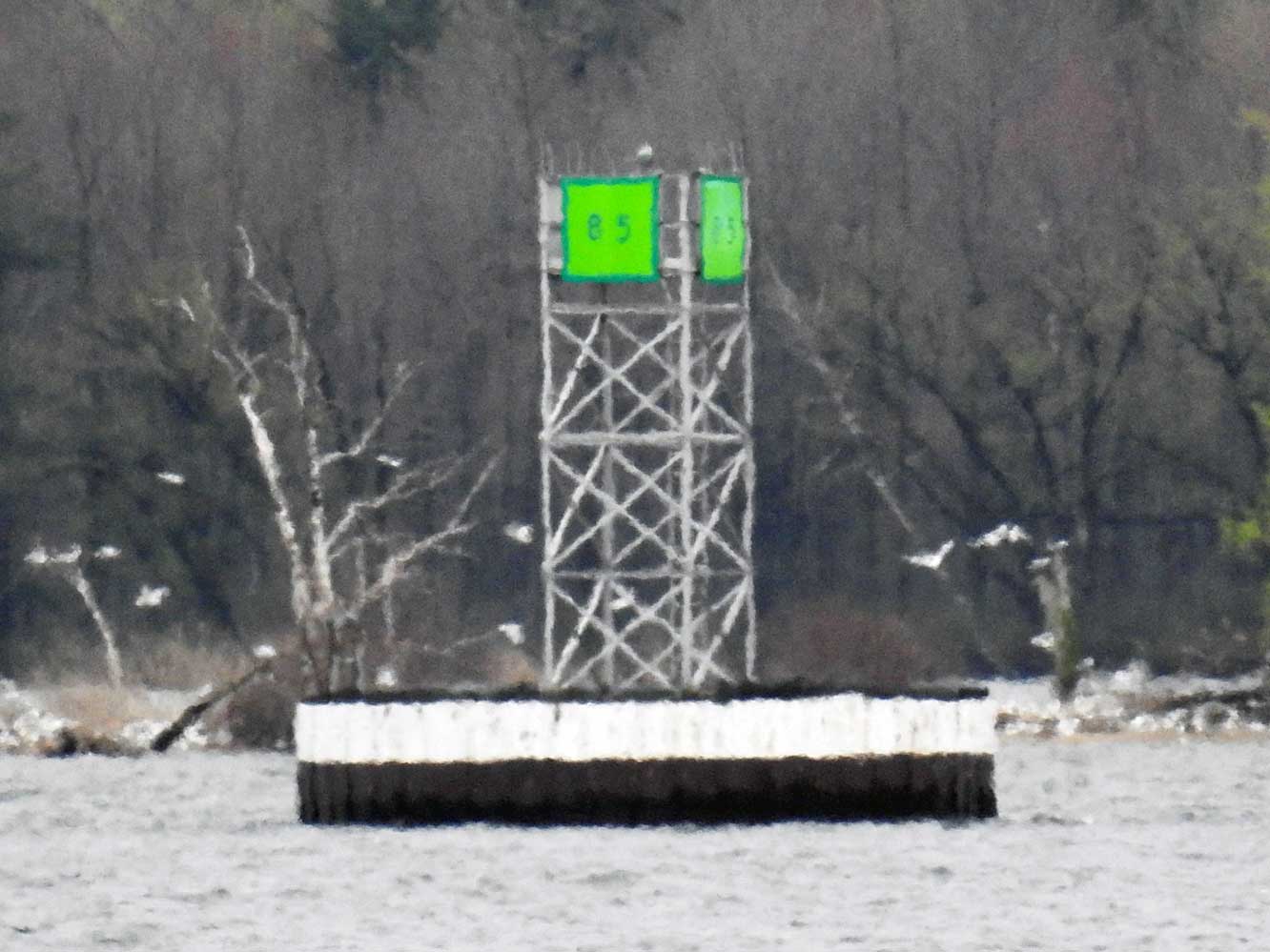 | H2683 | No 85 | MBN | |
 | H2692 | Mariatown | No 92 | MBN |
 | H2693 | Mariatown | Ldg Lts Front | MBN |
 | H2693.1 | Mariatown | Ldg Lts Rear | MBN |
 | H2694 | Mariatown | Approach Ldg Lts Front | MBN |
 | H2694.1 | Mariatown | Approach Ldg Lts Rear | MBN |
 | H2695 | No 96 | MBN | |
| H2706 | Iroquois Lock | Dir Lt | |
 | H2707 | Iroquois Lock | Approach Ldg Lts Front | MBN |
 | H2707.1 | Iroquois Lock | Approach Ldg Lts Rear | MBN |
| H2709.4 | Galop Island | E Ldg Lts Front | |
| H2709.41 | Galop Island | E Ldg Lts Rear | |
| H2710 | Toussaint Island | No 114 | |
| H2710.4 | Toussaint Island | W | |
| H2711 | Sparrowhawk Point | Dir Lt | |
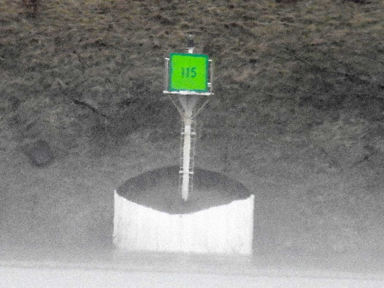 | H2712 | Sparrowhawk Point | No 115 | MBN |
 | H2716 | Galop Island | E End No 121 | MBN |
| H2718 | Galop Island Sluff | No 123 | |
| H2720 | Drummond Island | Ldg Lts Front | |
| H2720.1 | Drummond Island | Ldg Lts Rear | |
| H2721 | Galop Island | W Ldg Lts Front | |
| H2721.1 | Galop Island | W Ldg Lts Rear 395m from front | |
| H2723 | Chimney Island | NE Point | |
| H2723.4 | Ice Boom | Cell C | |
| H2725 | Ice Boom | Cell B | |
 | H2727 | Prescott | Heritage Harbour | MBN |
 | H2732 | Ogdensburg Harbor | MBN | |
 | H2736 | Dupont | MBN | |
 | H2742 | Brockville | Breakwater Head | MBN |
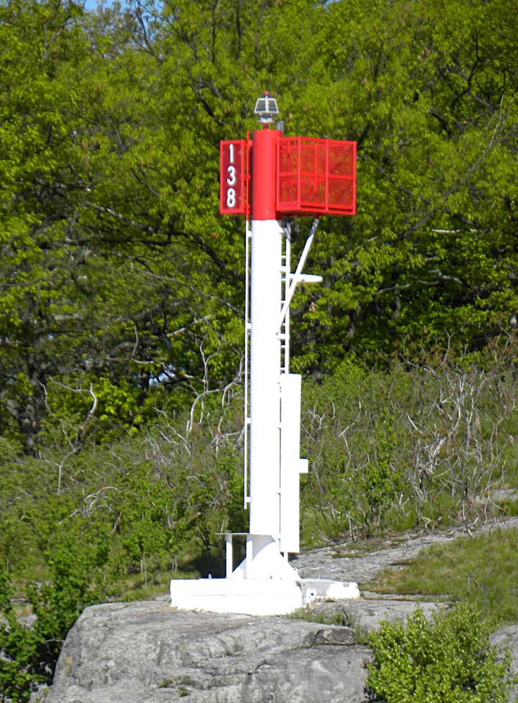 | H2744 | Skelton Island | S Side No 138 | MBN |
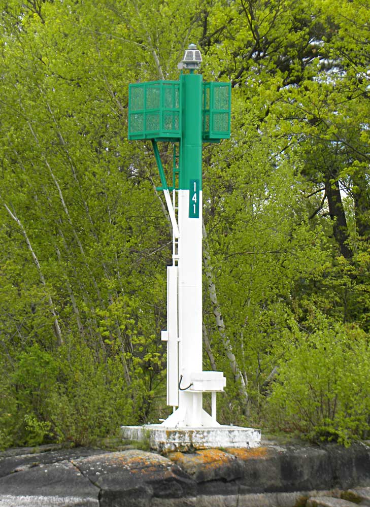 | H2746 | McCoy Island | No 141 | MBN |
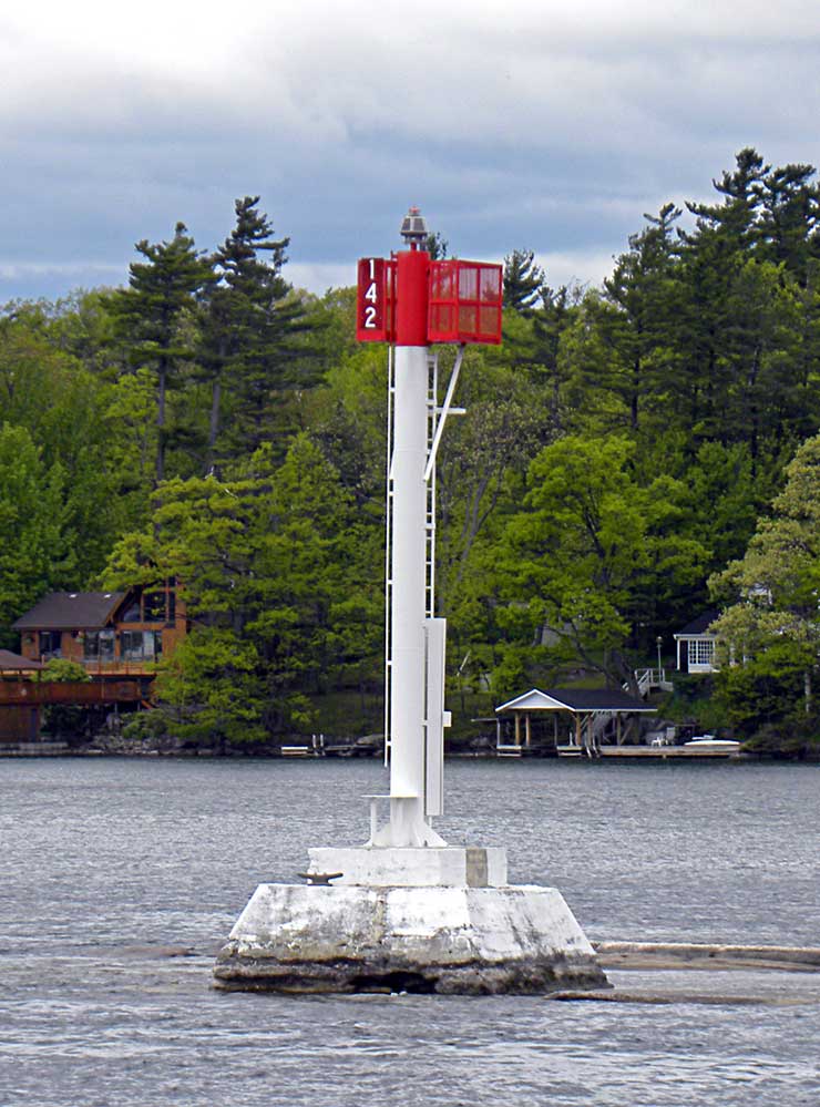 | H2747 | Off SW side of Royal Island | No 142 | MBN |
 | H2748 | No 143 | MBN | |
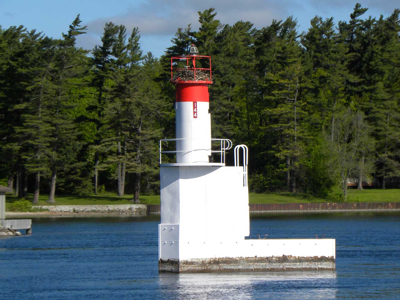 | H2749 | McDonald Point Shoal | No 144 | MBN |
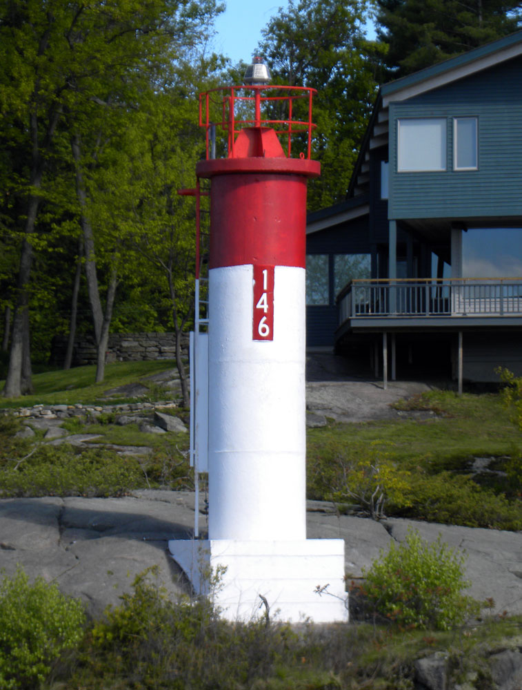
 | H2750 | Stovin Island | No 145 | MBN |
 | H2751 | Needles Eye Island | S Side No 146 | MBN |
 | H2754 | De Watteville Island | Ldg Lts Front On Island | MBN |
 | H2754.1 | De Watteville Island | Ldg Lts Rear | MBN |
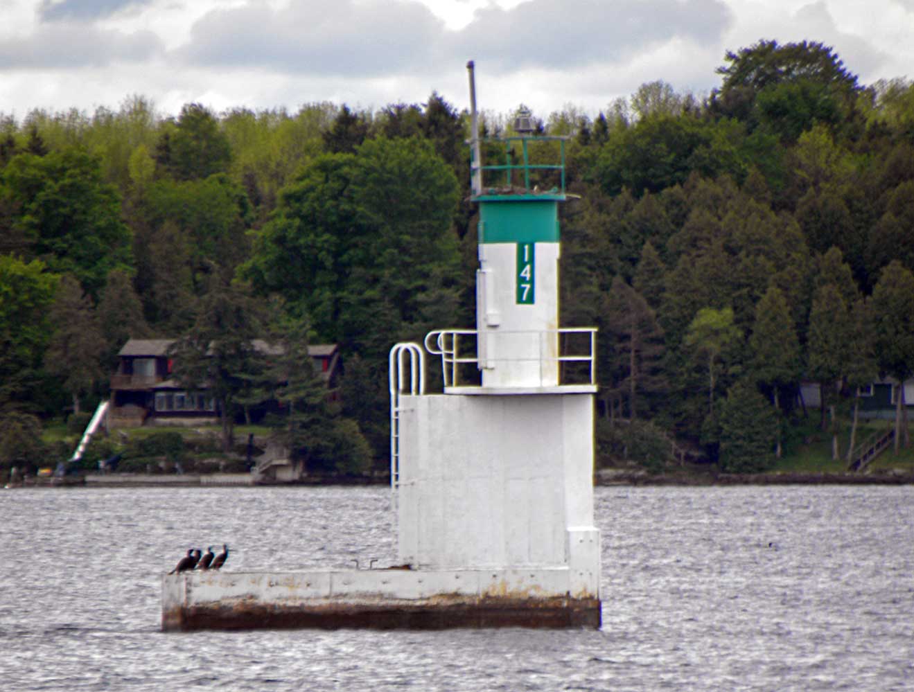 | H2756 | No 147 | MBN | |
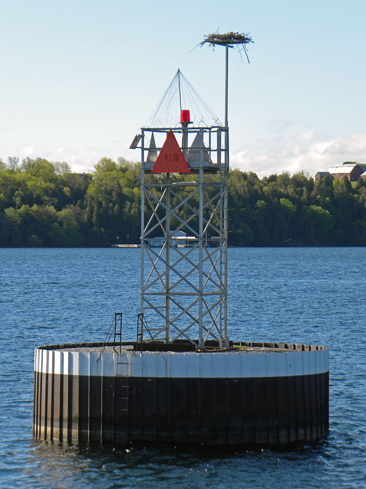
 | H2758 | No 150 | MBN | |
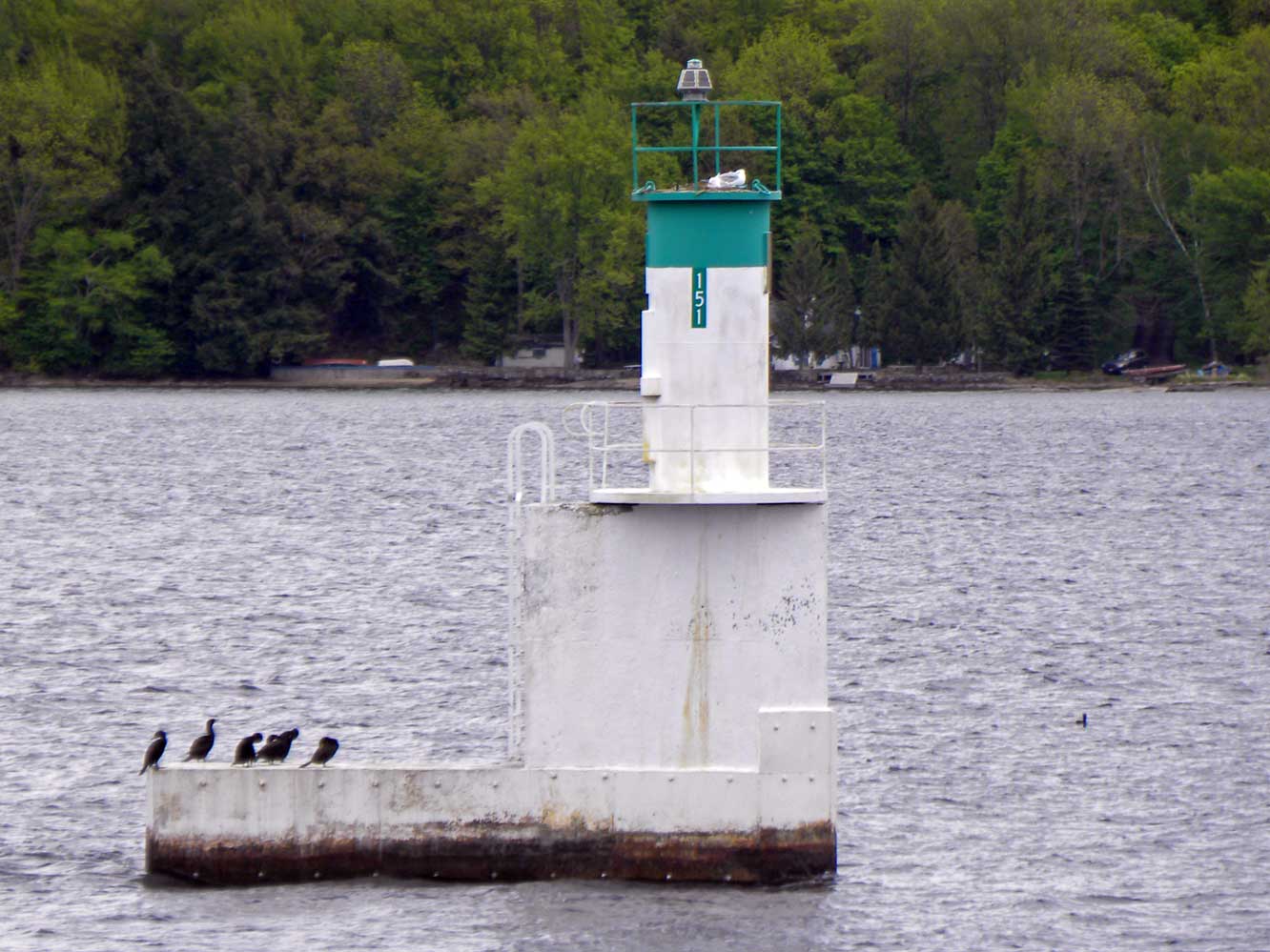 | H2760 | No 151 | MBN | |
 | H2761 | Crossover (Brockville) | Ldg Lts Front | MBN |
 | H2761.1 | Crossover (Brockville) | Ldg Lts Rear | MBN |
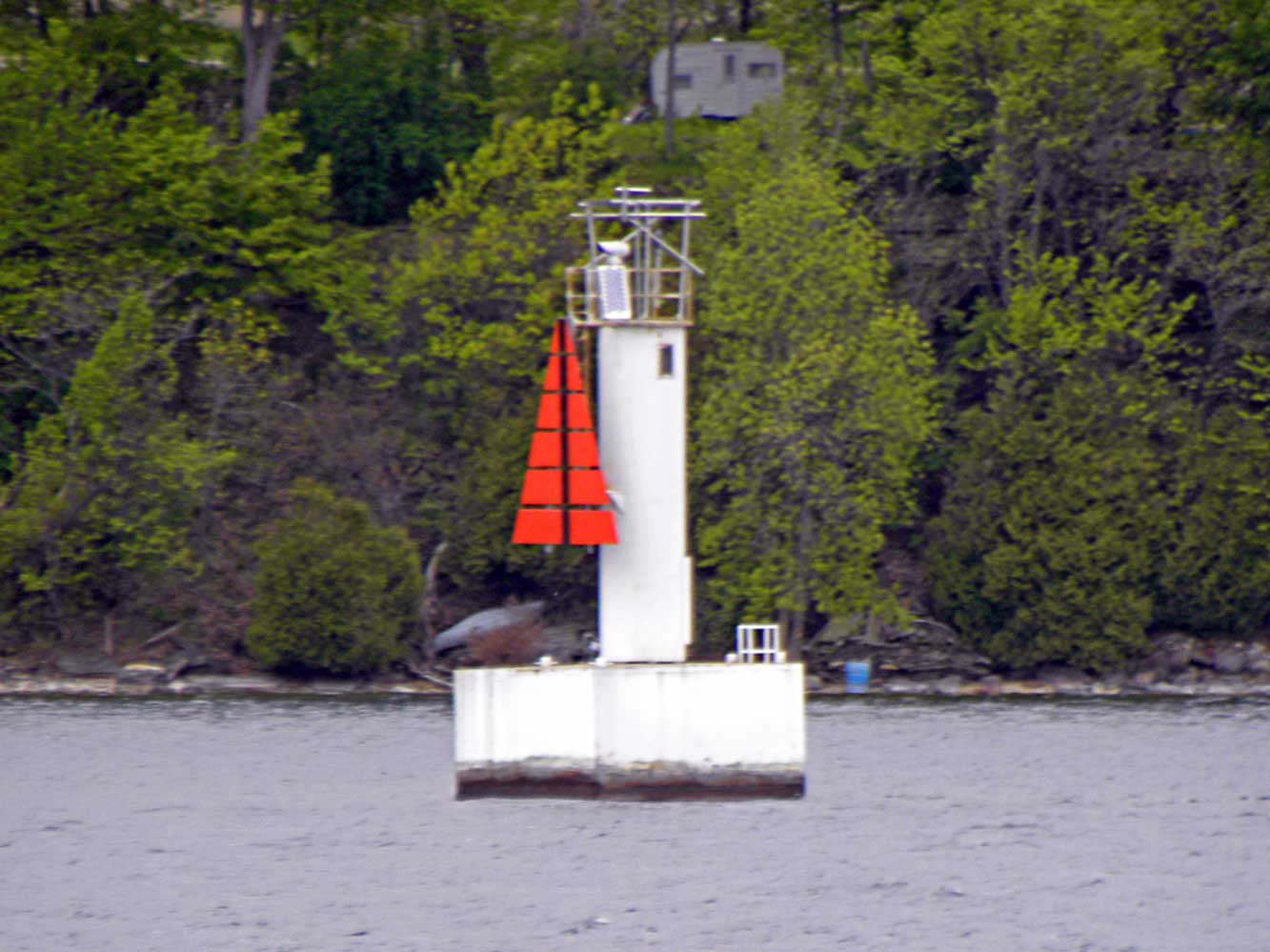
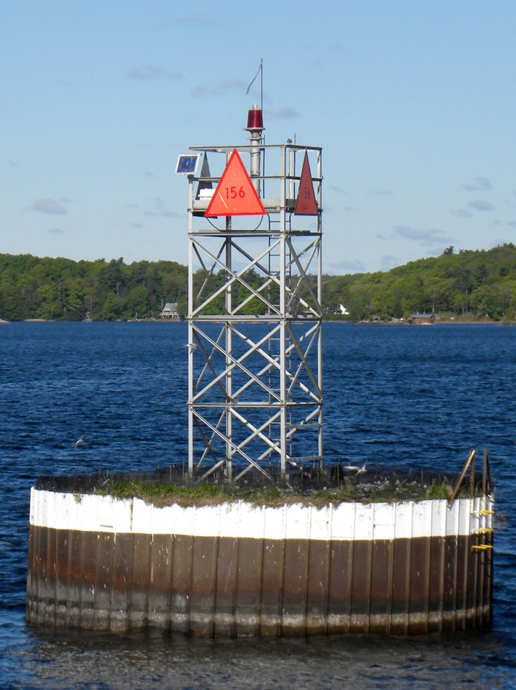 | H2764 | No 156 | Bay State Shoal | MBN |
 | H2766 | Cross Over Island Shoal | No 160 | MBN |
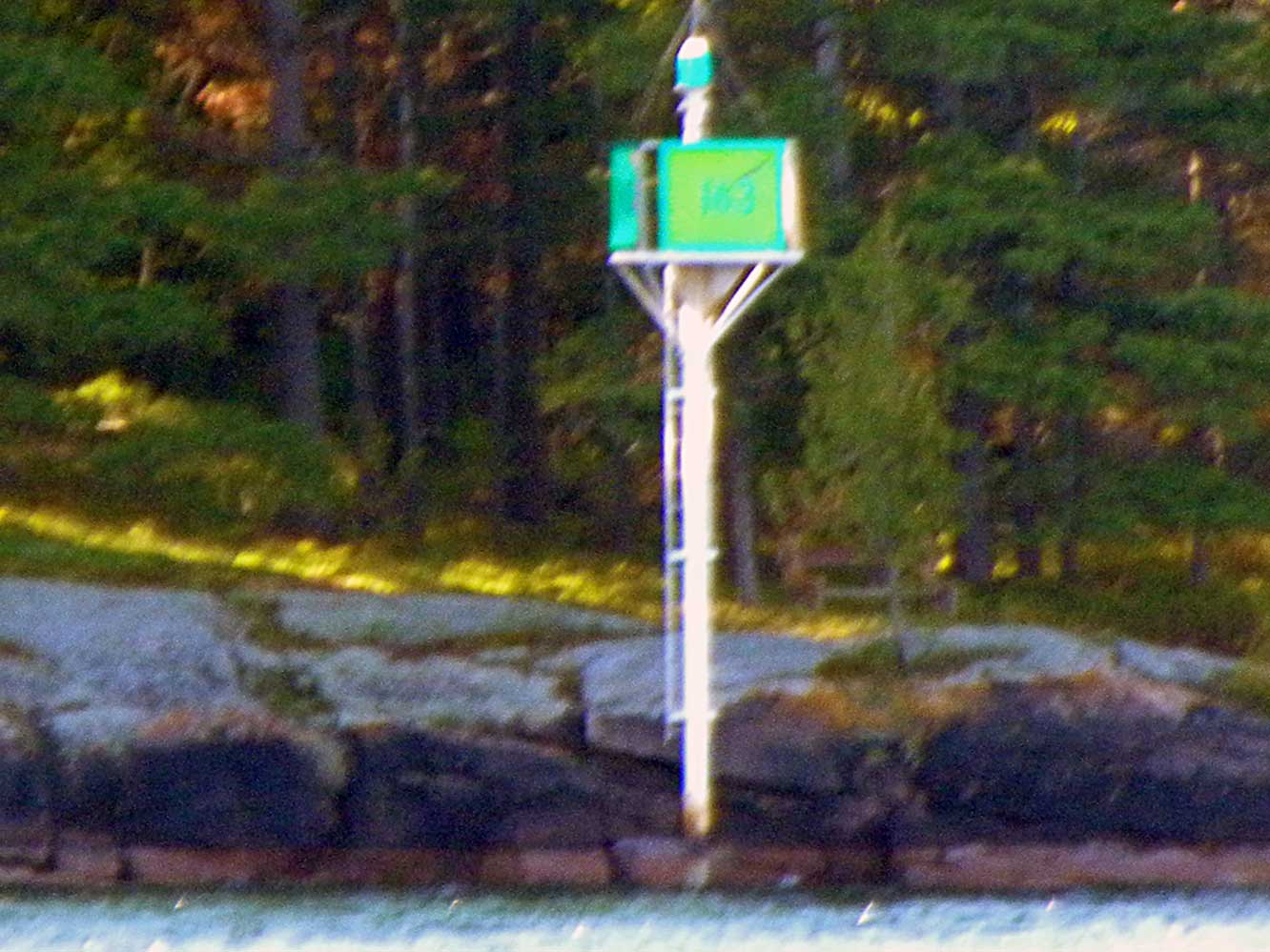 | H2768 | No 163 | MBN | |
| H2769 | Chippewa Point | Dir Lt | |
| H2770 | Chippewa Point | No 165 | |
 | H2771 | Chimney Island | MBN | |
 | H2774 | Dark Island | No 168 | MBN |
 | H2775 | Haffie Shoal | MBN | |
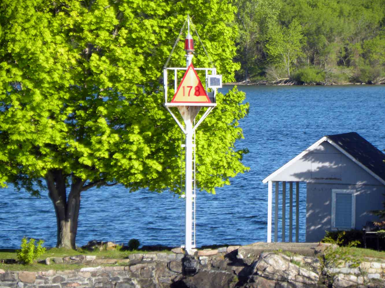 | H2778 | Sister Island | No 178 | MBN |
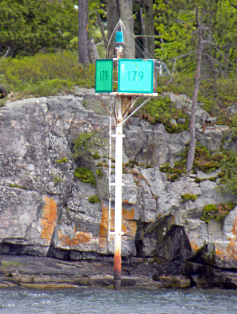 | H2779 | Ironsides Island | No 179 | MBN |
 | H2780 | No 180 | Ironside Shoal | MBN |
 | H2782 | Whiskey Island Shoal | No 182 | MBN |
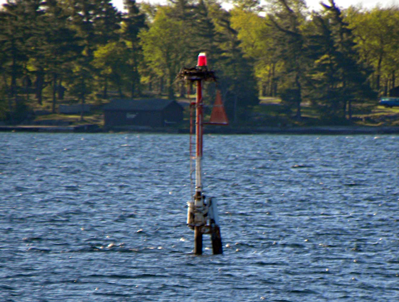
 | H2783 | Excelsior Shoal | No 183 | MBN |
 | H2783.4 | Goose Island | MBN | |
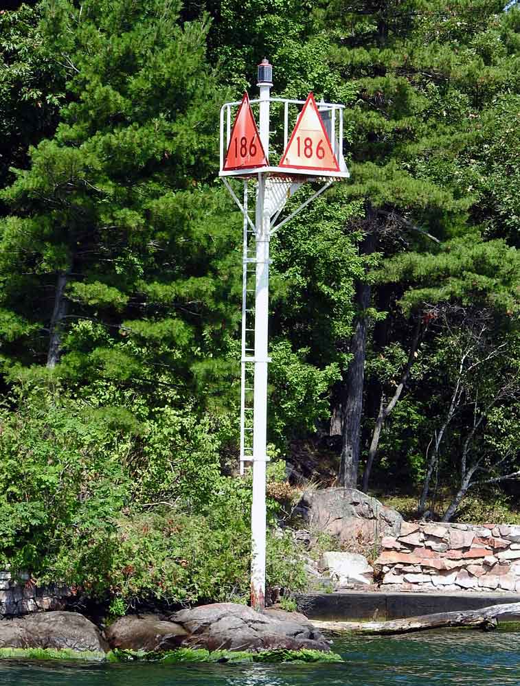 | H2784 | Deer Island | No 186 | MBN |
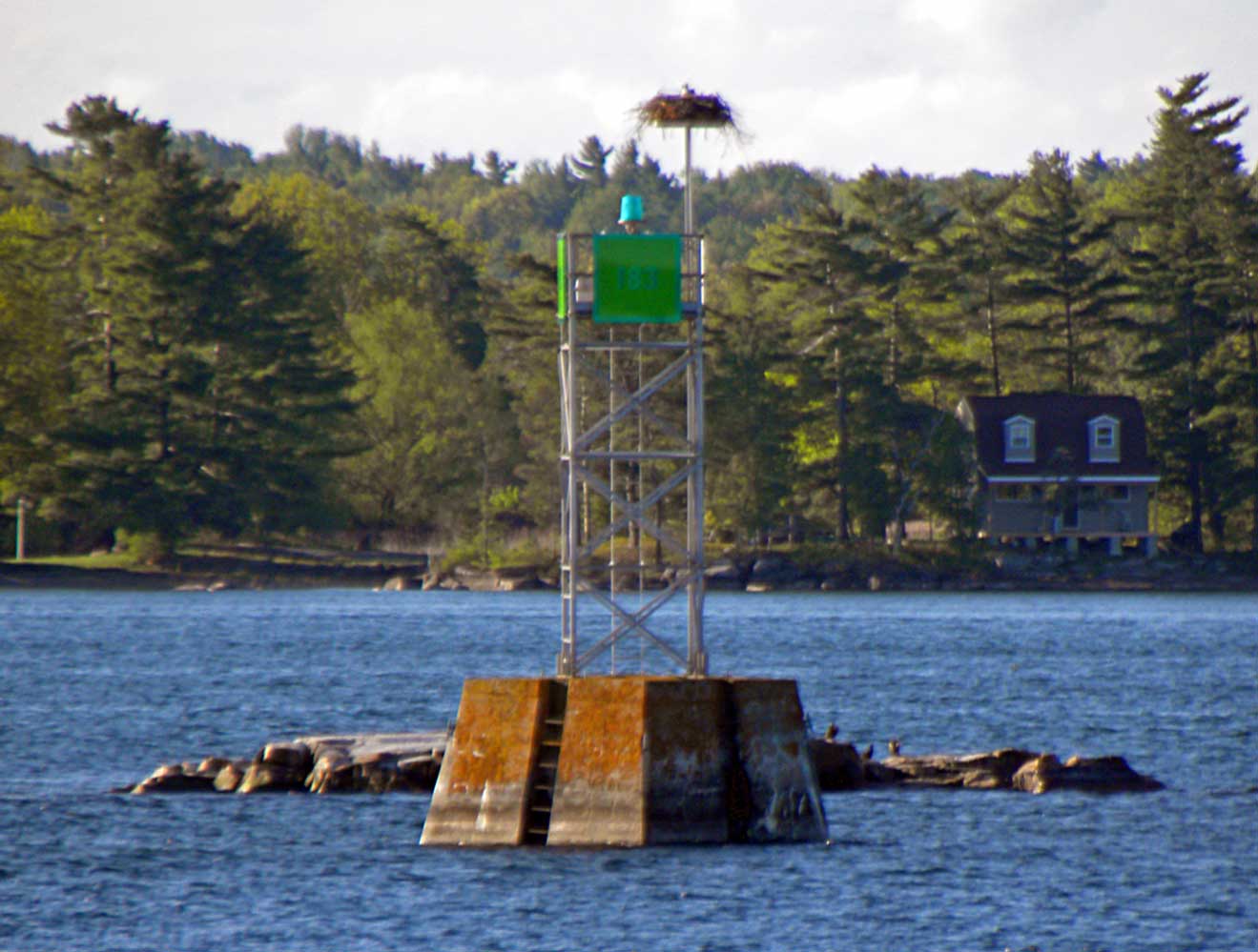
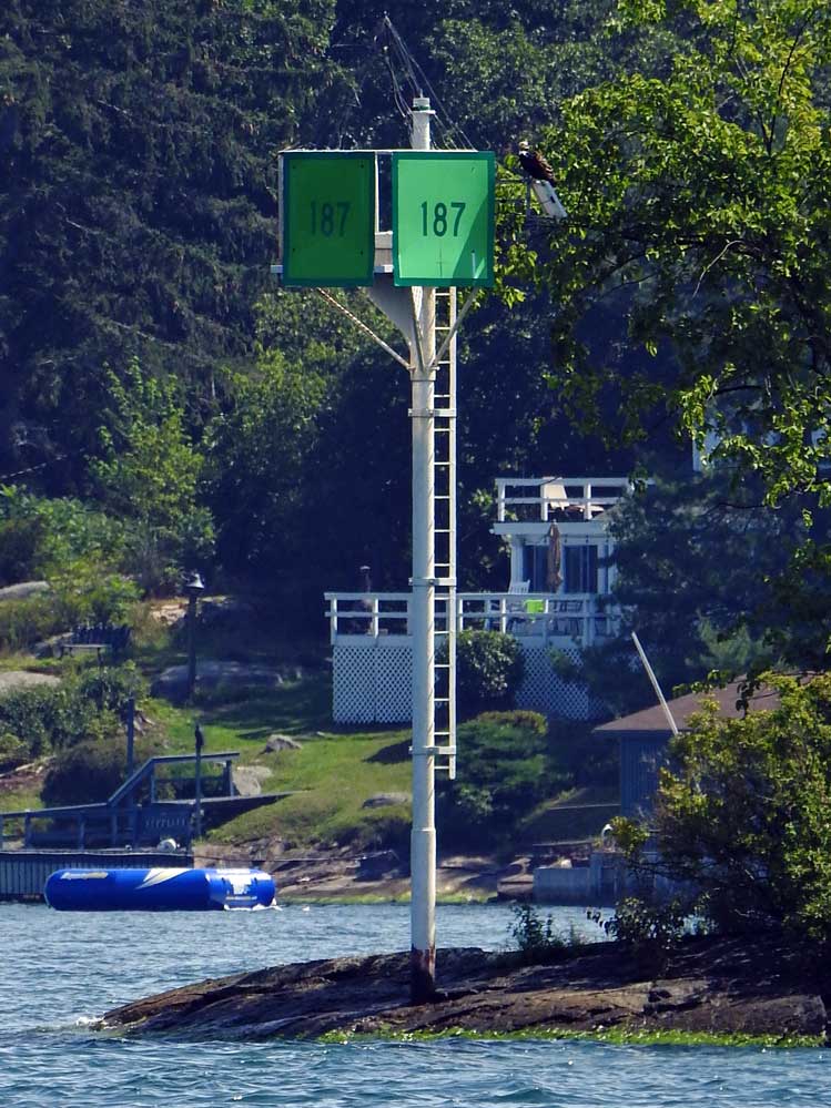 | H2785 | No 187 | MBN | |
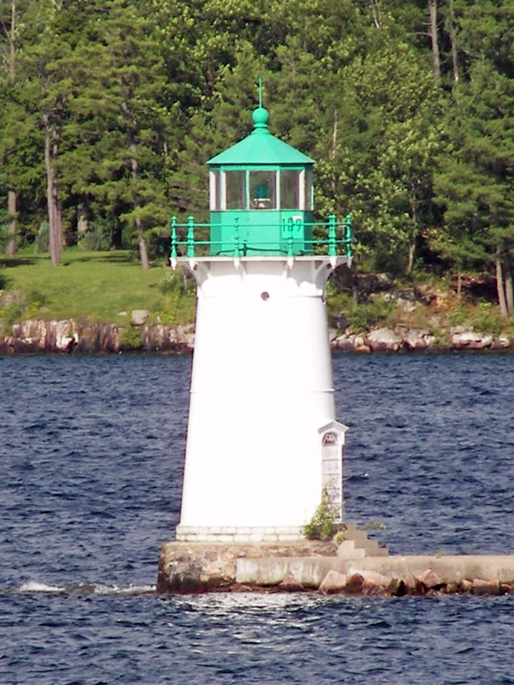 | H2786 | Sunken Rock | No 189 | MBN |
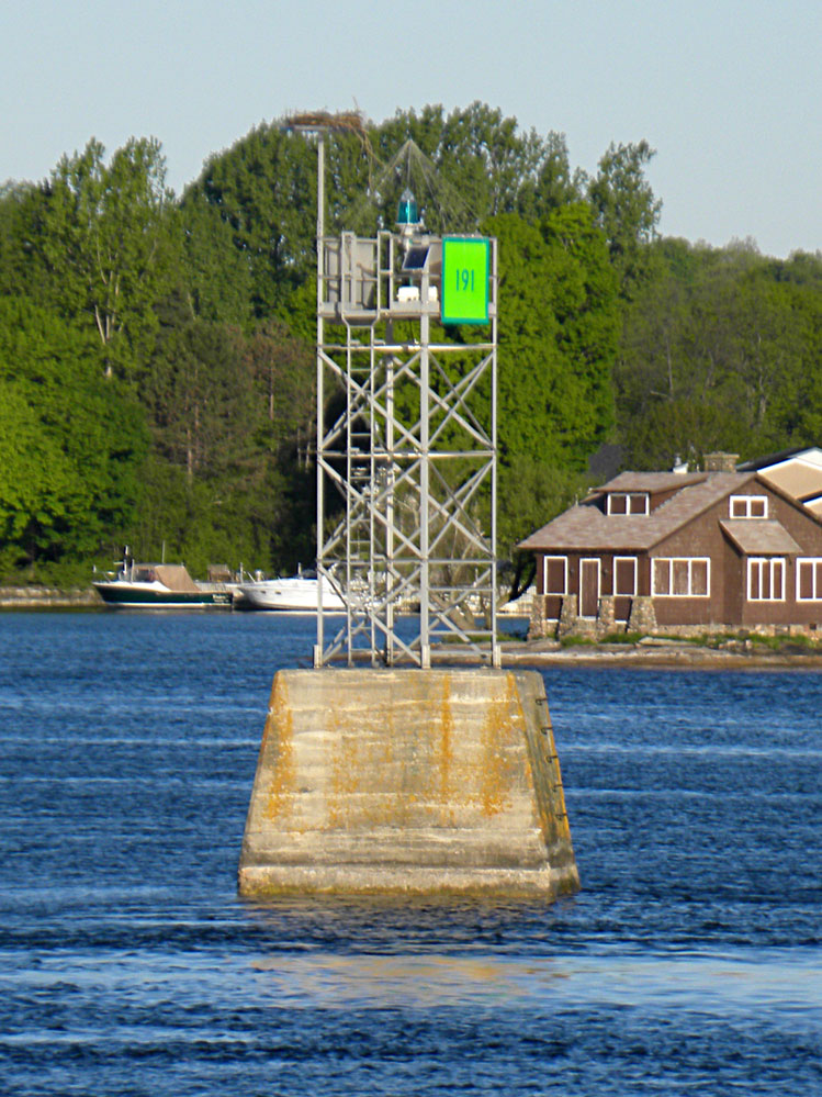 | H2787 | Sunken Rock Shoal | SW Side No 191 | MBN |
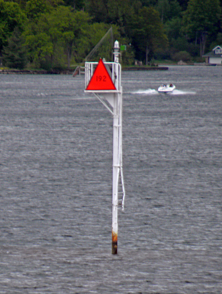 | H2788 | Frontenac Shoal | No 192 | MBN |
 | H2788.5 | Alexandria Bay | Harbor | MBN |
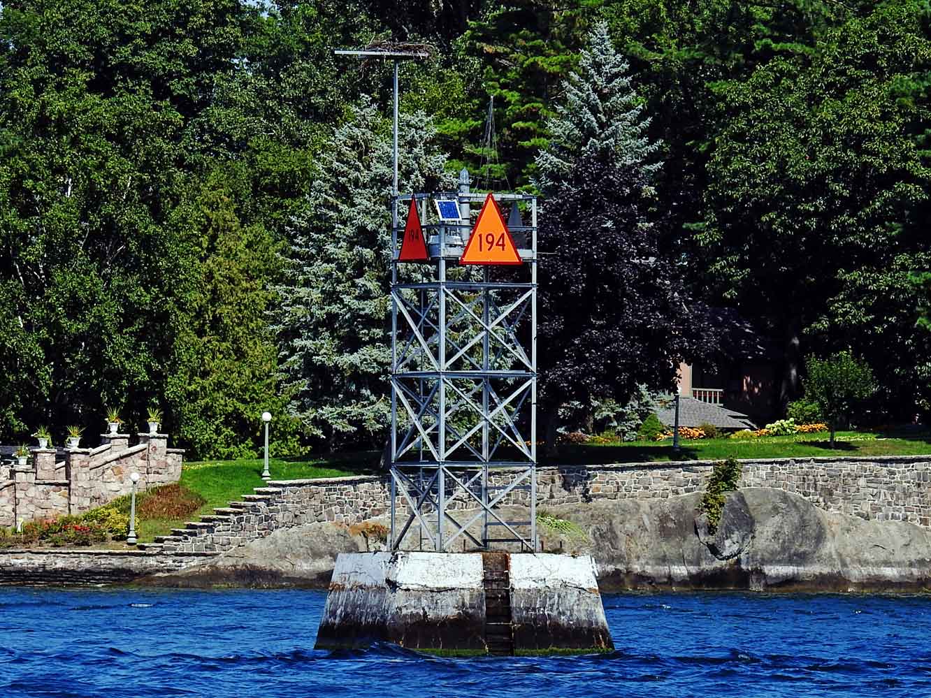 | H2789 | Pullman Shoal | No 194 | MBN |
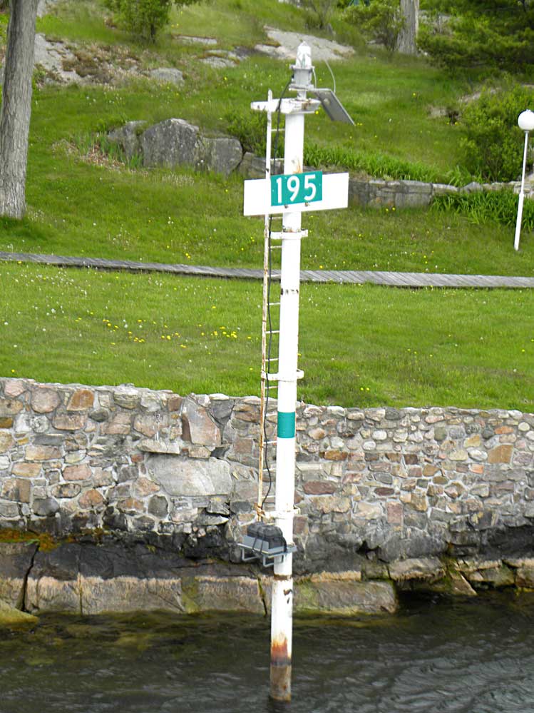 | H2790 | No 195 | MBN | |
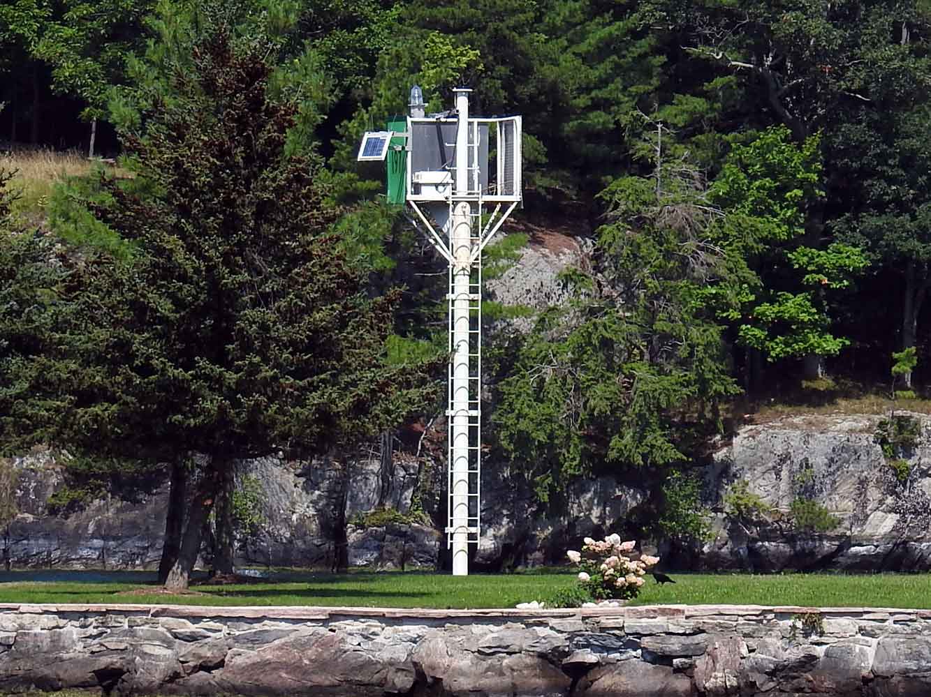 | H2791 | Stoney Crest Island | No 197 | MBN |
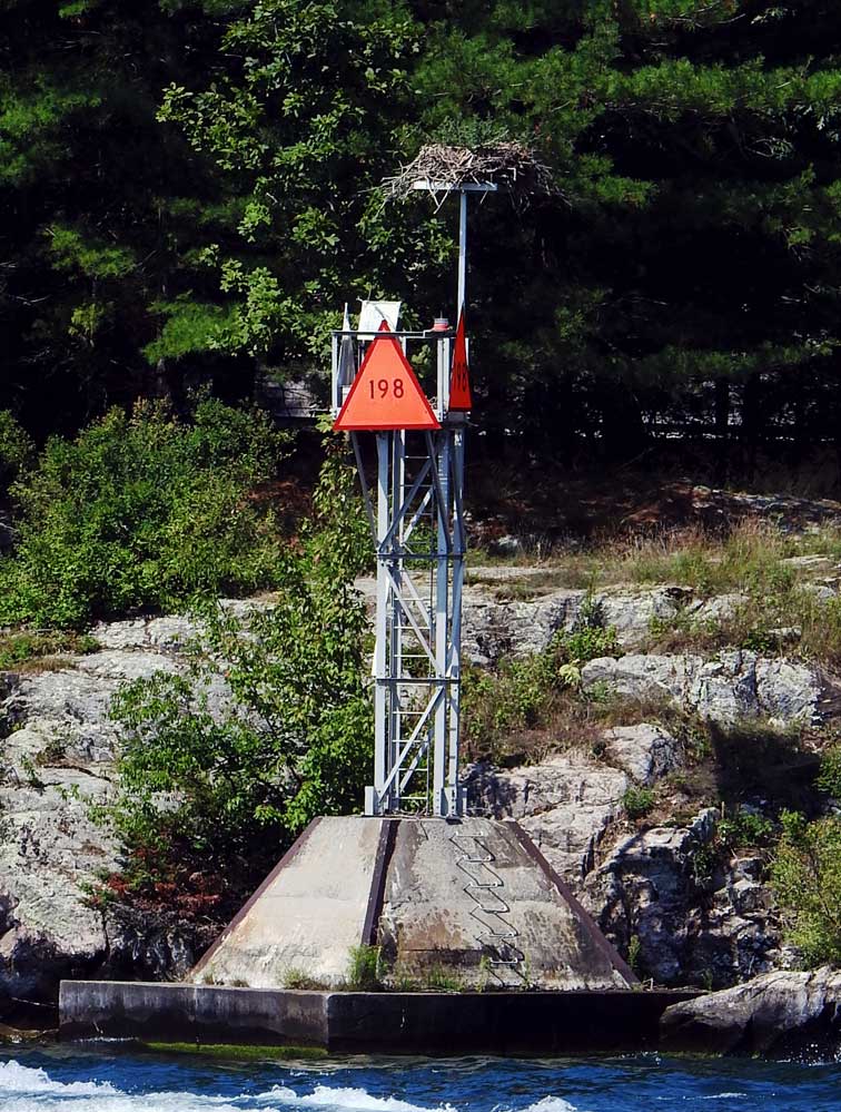 | H2791.4 | No 198 | MBN | |
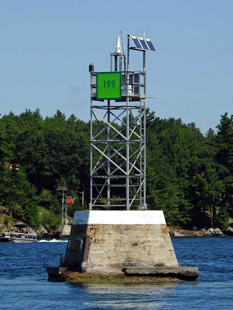 | H2792 | Comfort Island Shoal | No 199 | MBN |
 | H2792.5 | Keewaydin State Park | Breakwater | MBN |
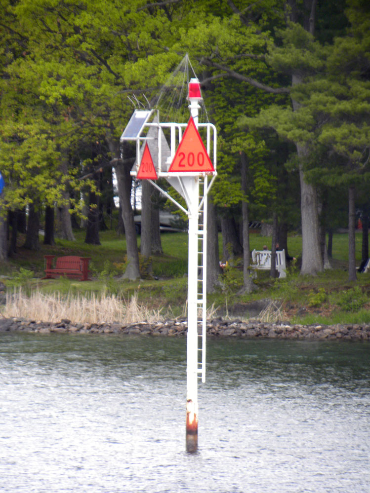 | H2793 | Seven Isles | No 200 | MBN |
 | H2794 | Point Vivian | Dir Lt | MBN |
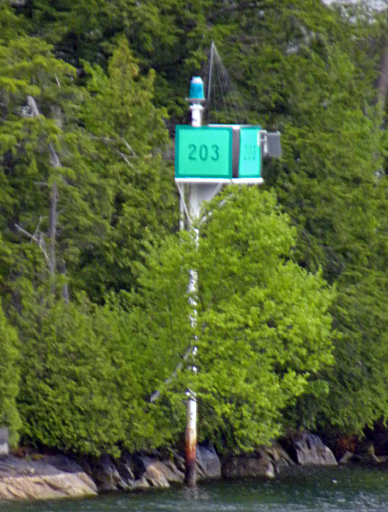 | H2795 | No 203 | MBN | |
 | H2796 | No 204 | MBN | |
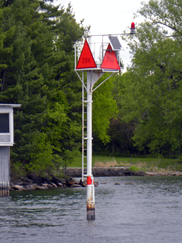 | H2797 | No 206 | MBN | |
 | H2798 | No 207 | MBN | |
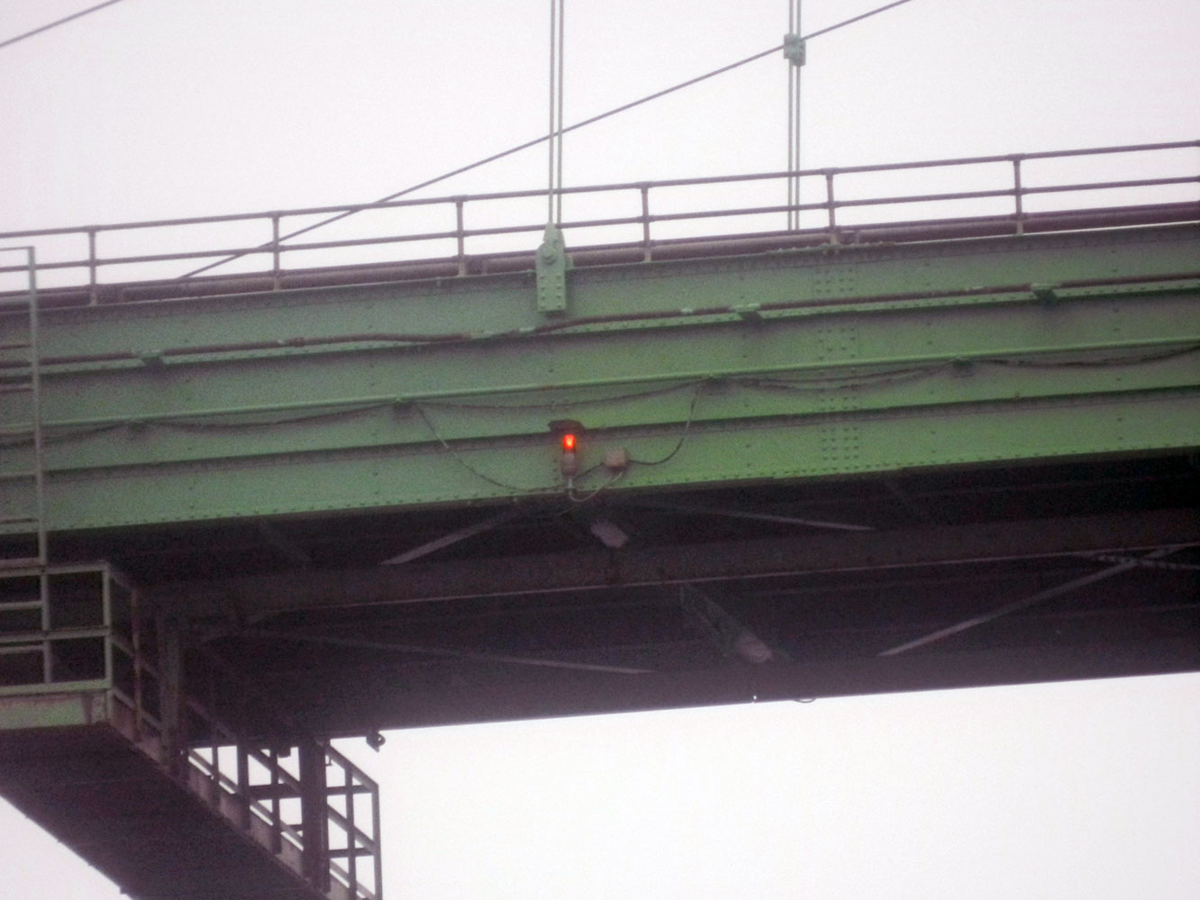 | H2799 | Thousand Islands Bridge | MBN | |
 | H2800 | No 209 | MBN | |
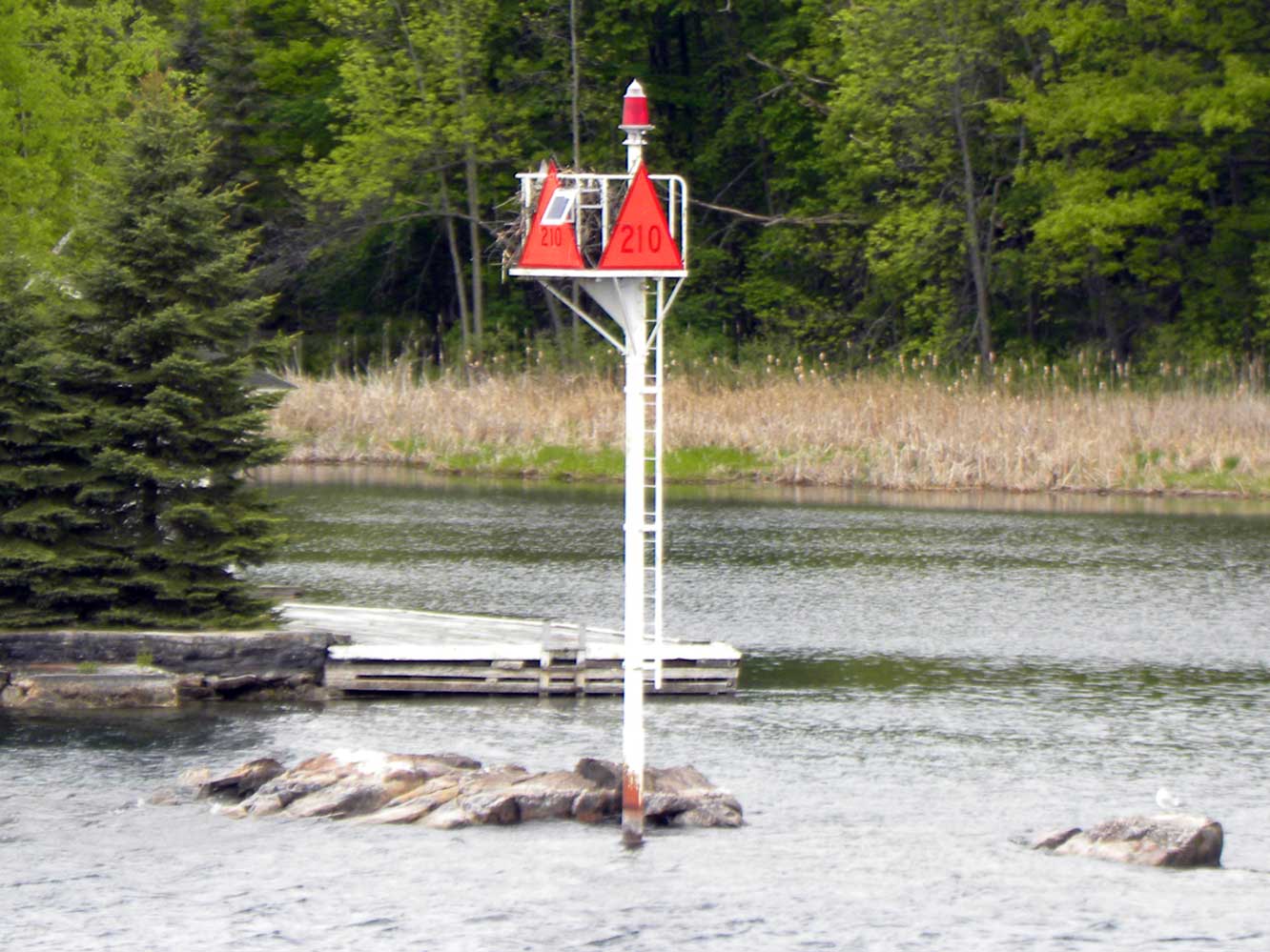 | H2801 | No 210 | MBN | |
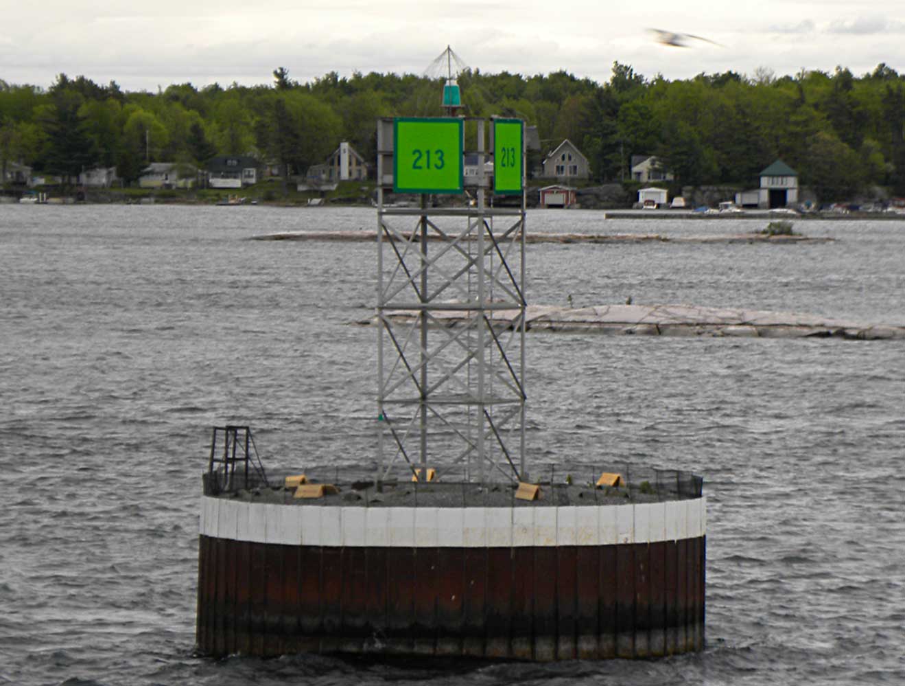 | H2803 | No 213 | MBN | |
 | H2804 | Fisher Landing | AKB | |
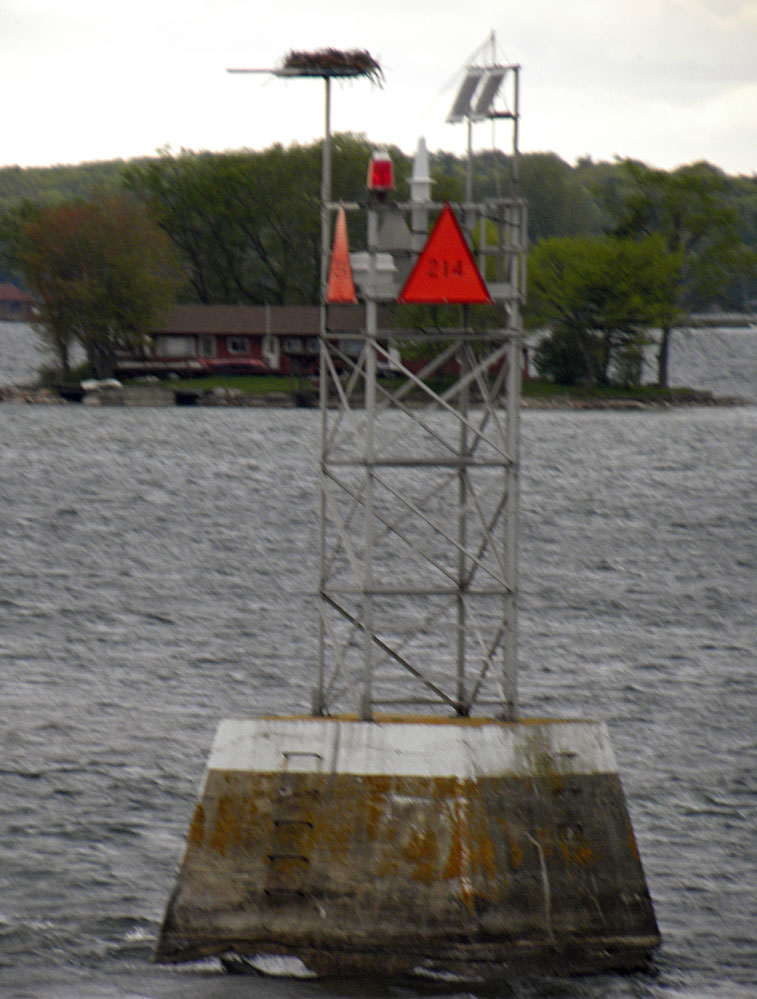 | H2805 | E edge of Granite State Shoal | No 214 | MBN |
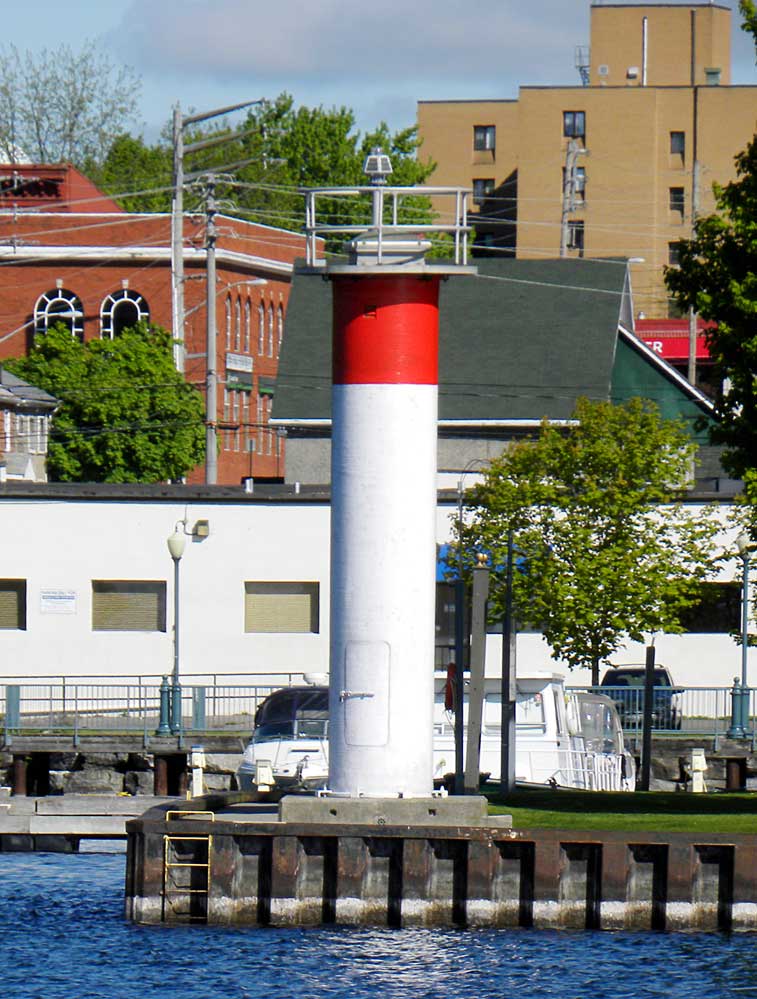
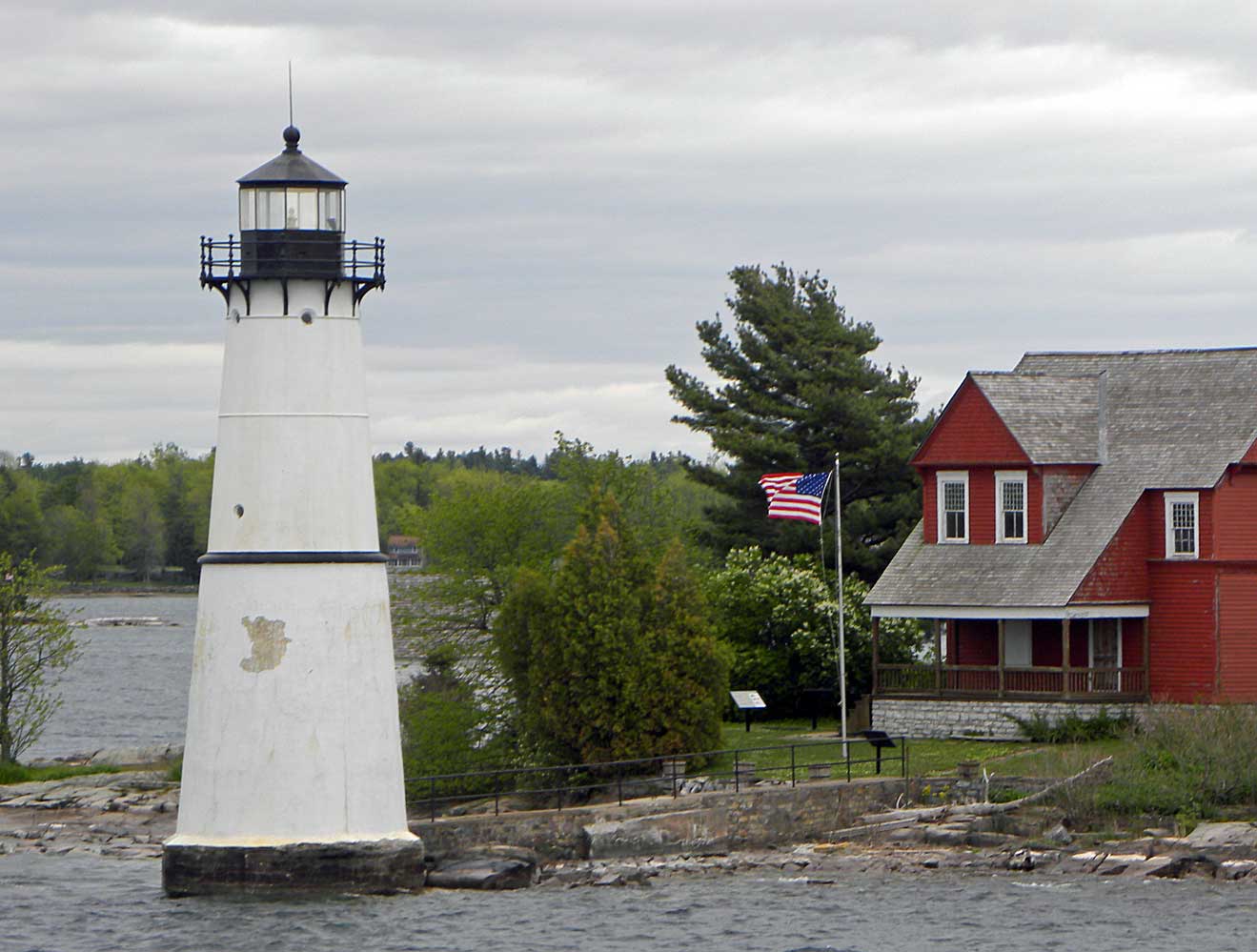 | H2806 | Rock Island Light | MBN | |
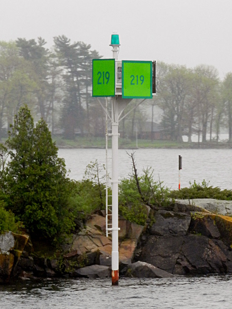 | H2807 | No 219 | MBN | |
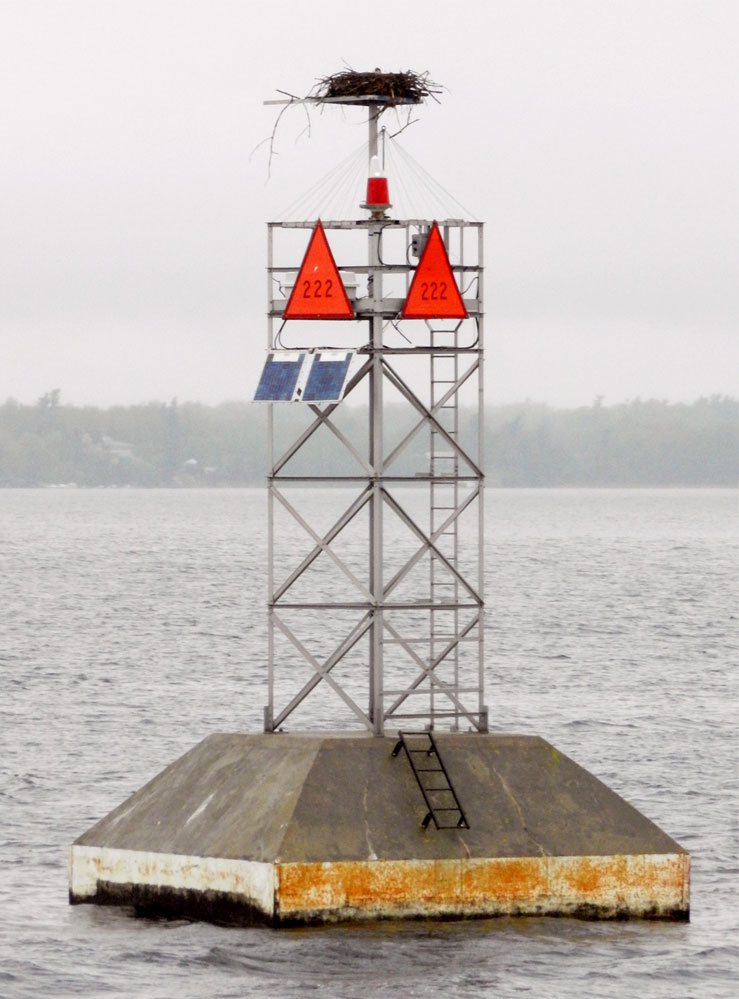 | H2808 | Chapman Shoal | SE End No 222 | MBN |
 | H2810 | Mary Street Dock | MBN | |
| H2810.5 | Clayton City | ||
 | H2811 | Clayton Floating Dock | MBN | |
 | H2812 | Calumet Shoal | No 226 | MBN |
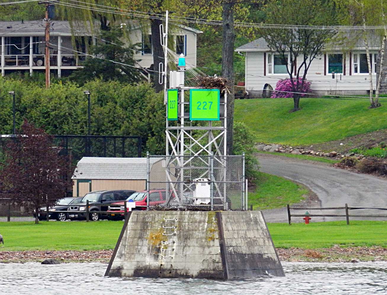 | H2813 | Off Bartlett Point | No 227 | MBN |
| H2816 | No 229 | ||
 | H2818 | Wolfe Island | Québec Head | MBN |
| H2820 | Linda Island | No 231 | |
 | H2824 | Irvine Point | Ldg Lts Front | MBN |
 | H2824.1 | Irvine Point | Ldg Lts Rear | MBN |
| H2826 | Bayfield Island | E Side Dir Lt | |
| H2828 | Carleton Island | Dir Lt | |
| H2831 | Cape Vincent Breakwater | W End | |
| H2832 | Cape Vincent Breakwater | E End | |
 | H2833.2 | East Charity Shoal | MBN | |
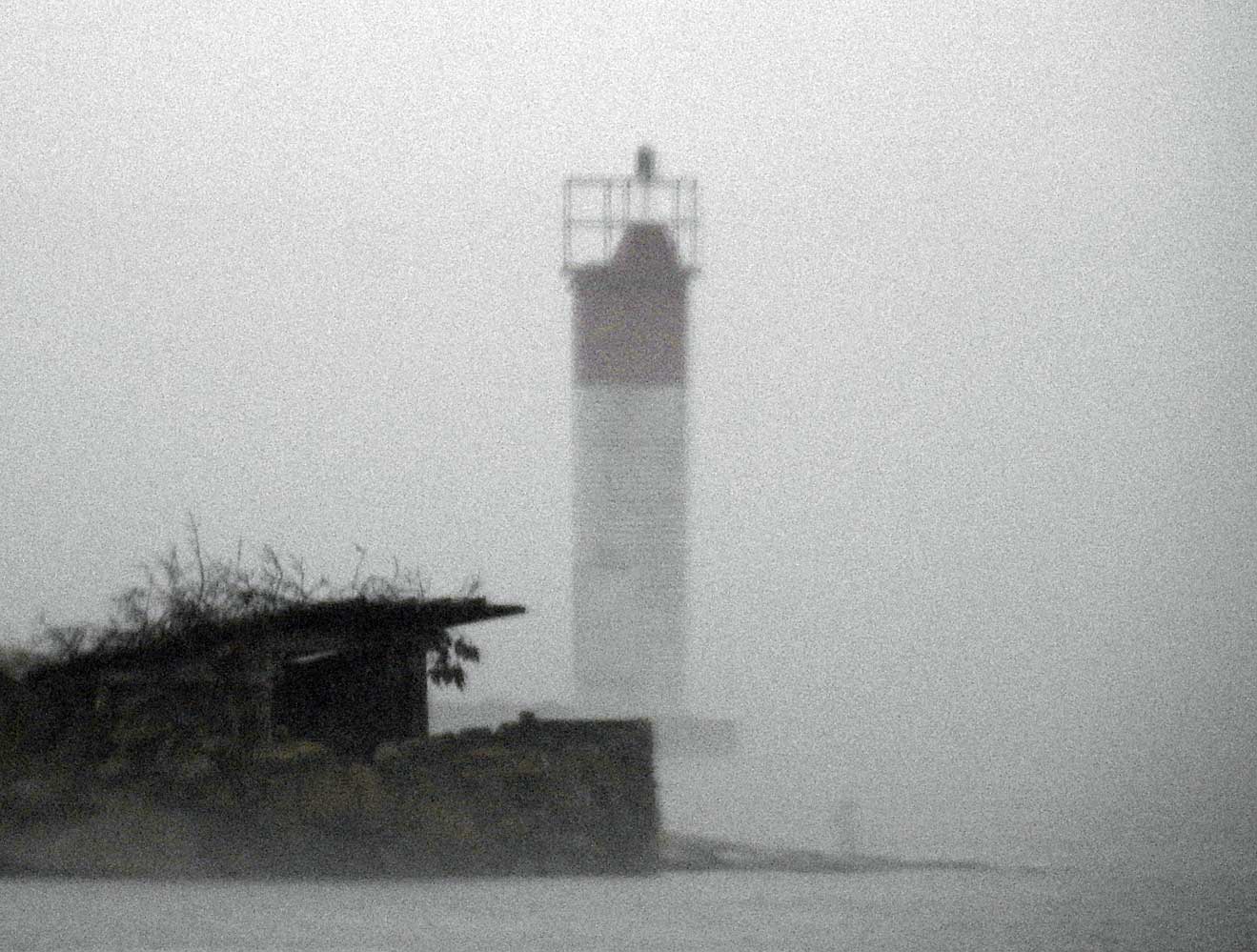
 | H2836 | Tibbetts Point | MBN |
 KML-Datei (alle Einträge) für Google Earth herunterladenKML-Datei (nur mit Bildern) für Google Earth herunterladenKML-Datei (nur ohne Bilder) für Google Earth herunterladen
 In Google Maps anzeigen (alle Einträge)In Google Maps anzeigen (nur mit Bildern)In Google Maps anzeigen (nur ohne Bilder)
 In Bing Maps anzeigen (alle Einträge)In Bing Maps anzeigen (nur mit Bildern)In Bing Maps anzeigen (nur ohne Bilder)

