
Um detaillierte Informationen zu einem Leuchtfeuer anzuzeigen, auf den internationalen Code klicken.
Alle Bilder auf einer Seite anzeigen
| Vorschau | Internationaler Code | Standort | Name | Bildnachweis |
|---|---|---|---|---|
 | H2839 | Duck Rock | MBN | |
 | H2840 | Grenadier Island | SW Point | MBN |
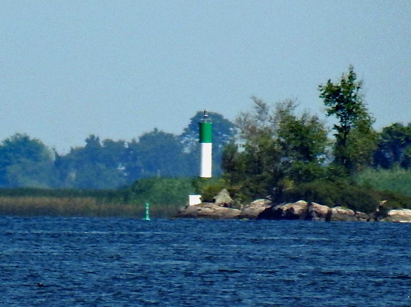
 | H2840.2 | Buck Island | Off W side | MBN |
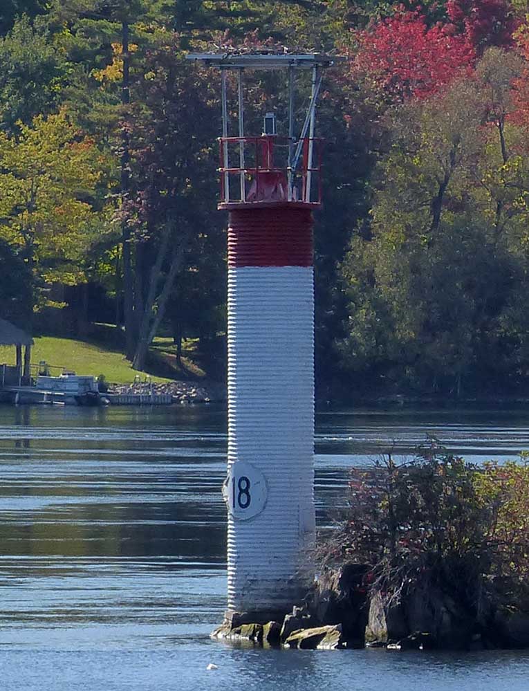
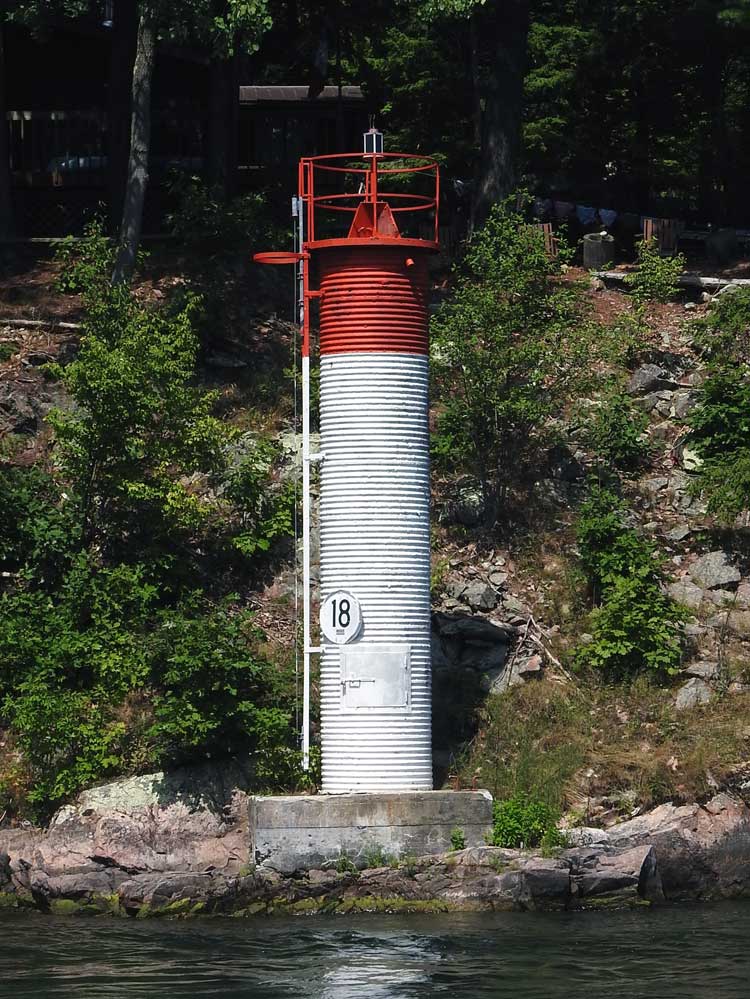
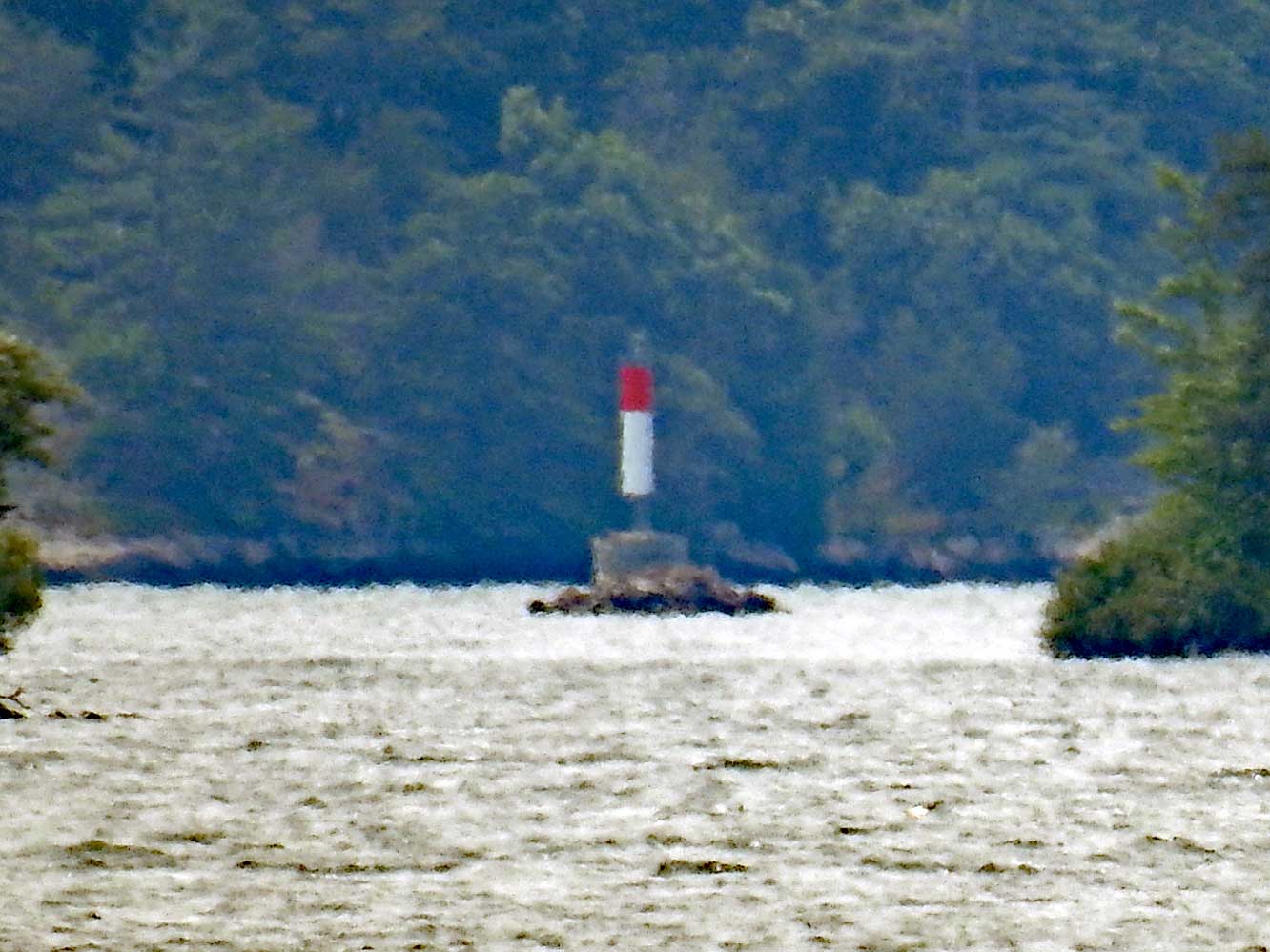
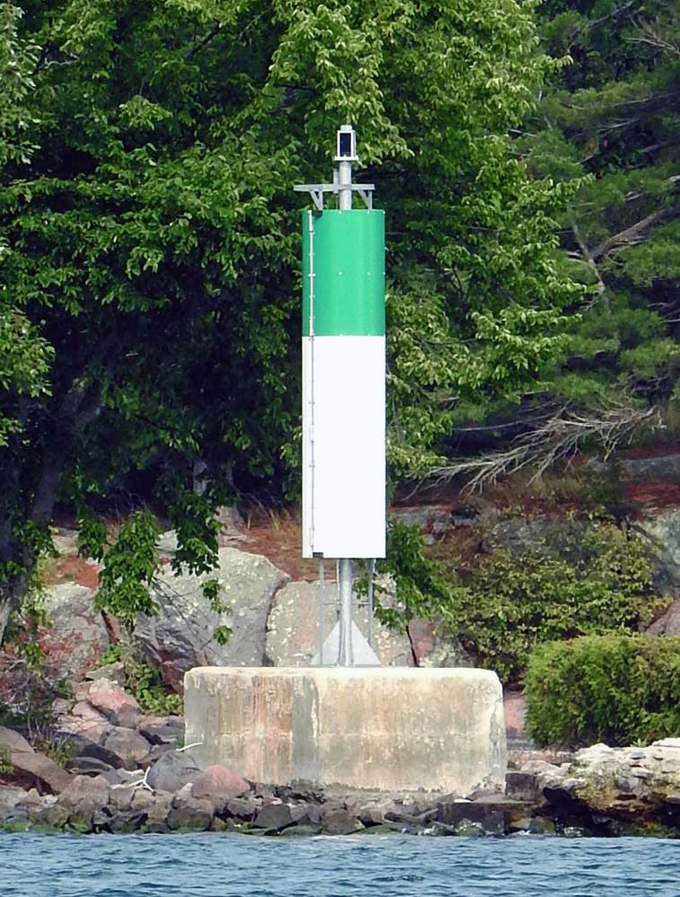
 | H2840.4 | Tar Island | Off SW end | MBN |
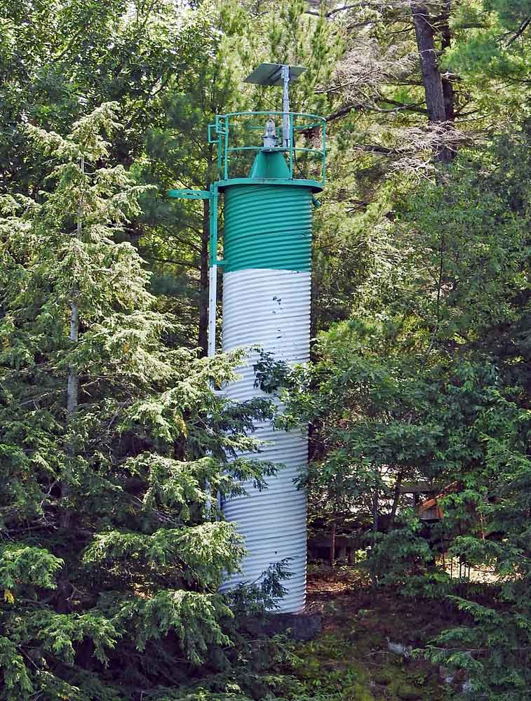
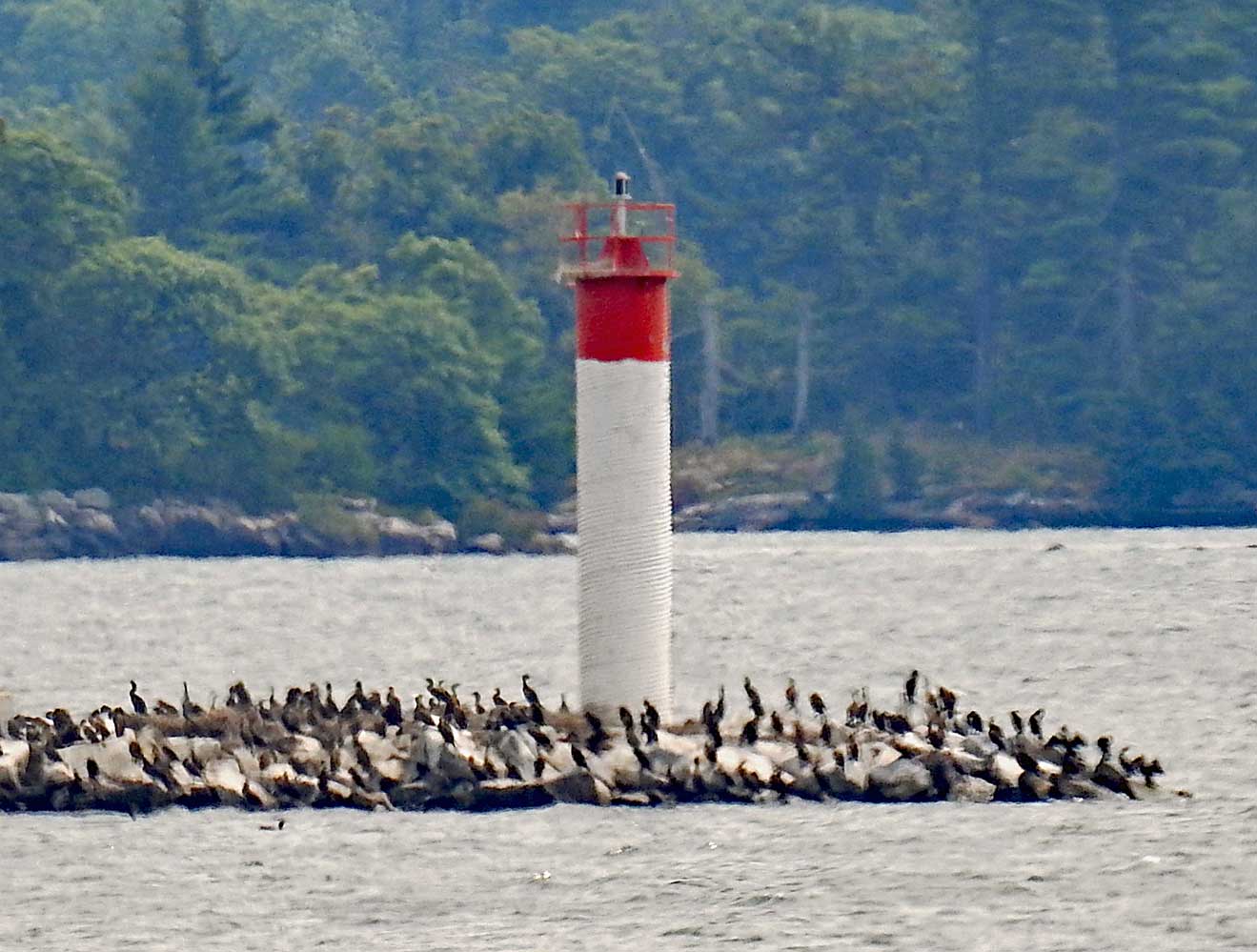
 | H2841 | Club Island | N Side | MBN |
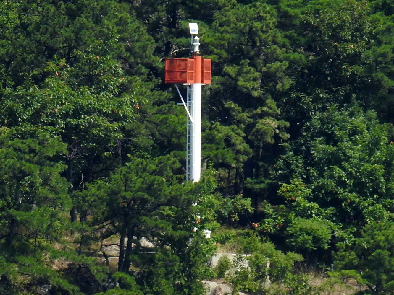
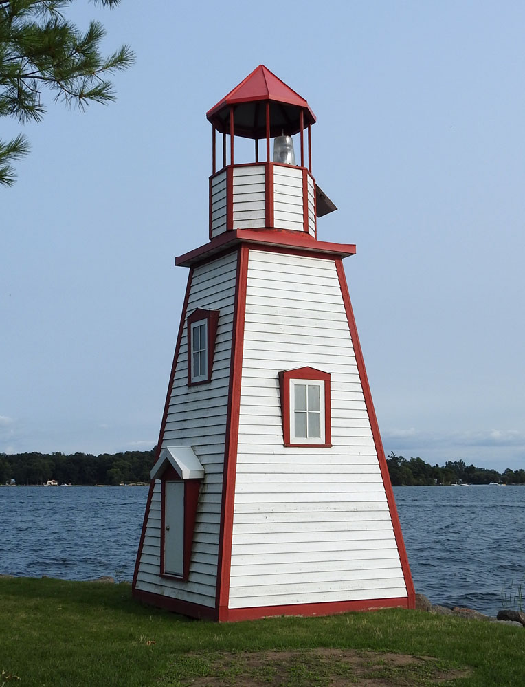
 | H2842 | Ivy Lea Bridge | MBN | |
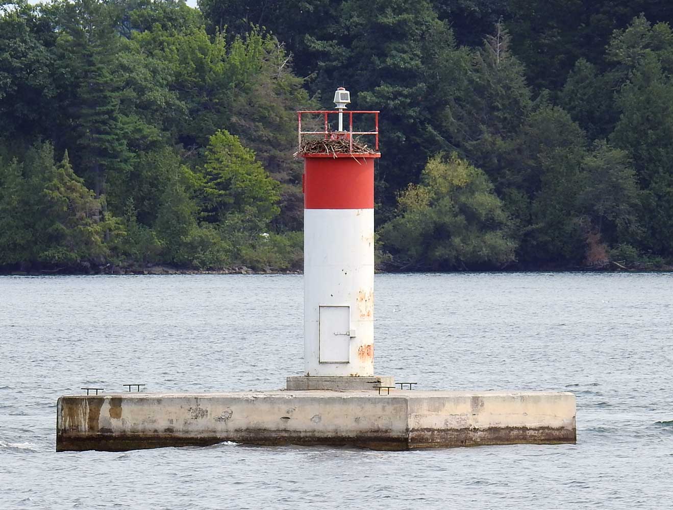
 | H2843 | Wood Island | Off E end | RAY |
 | H2843.4 | Wallace Island | MBN | |
 | H2844 | Fiddlers Elbow | N side of channel | MBN |
 | H2845 | Lyndoch Island | Off NW side | |
 | H2847 | Gananoque Narrows | Prince Regent Island NE End | MBN |
| H2847.3 | Gananoque Narrows | Prince Regent Island E End | |
 | H2847.4 | Gananoque Narrows | Prince Regent Island Off NW end | MBN |
| H2847.6 | Astounder Island | ||
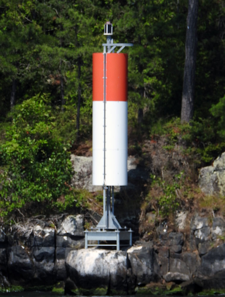
 | H2848 | Approaches to Gananoque | Jackstraw Shoal | MBN |
 | H2848.4 | Approaches to Gananoque | Floating Breakwater Head | MBN |
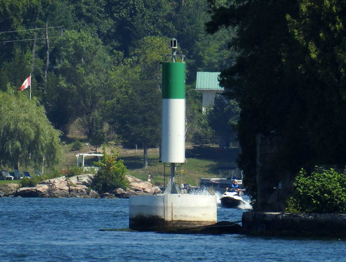
 | H2848.5 | Gananoque | Yacht Harbour | MBN |
 | H2850 | Approaches to Gananoque | Spectacles Shoal | MBN |
 | H2851 | Approaches to Gananoque | Beaurivage Island W End | MBN |
| H2852 | Approaches to Gananoque | Aubrey Island (Burnt Island) E Side |
 KML-Datei (alle Einträge) für Google Earth herunterladenKML-Datei (nur mit Bildern) für Google Earth herunterladenKML-Datei (nur ohne Bilder) für Google Earth herunterladen
 In Google Maps anzeigen (alle Einträge)In Google Maps anzeigen (nur mit Bildern)In Google Maps anzeigen (nur ohne Bilder)
 In Bing Maps anzeigen (alle Einträge)In Bing Maps anzeigen (nur mit Bildern)In Bing Maps anzeigen (nur ohne Bilder)

